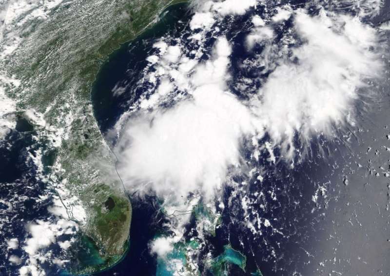
NASA's Terra satellite captured a visible image of the remnants of Tropical Depression 3 on July 24, 2019 at 1:30 p.m. EDT off the east coast of Florida. Credit: NASA Worldview
The third tropical depression of the Atlantic Ocean hurricane season didn't last long. NASA's Terra satellite provided an image of the system's remnant clouds on July 23, 2019.
Tropical Depression 3 formed on Monday, July 22 and dissipated by 11 a.m. EDT (1500 UTC) on July 24, 2019. At that time, the National Hurricane Center or NHC issued the final advisory on the remnants of the depression as it dissipated near latitude 29.0 degrees north and longitude 80.0 degrees west. It was centered about 60 miles (100 km) east-southeast of Daytona Beach, Florida and about 100 miles (160 km) southeast of St. Augustine, Florida. The remnants were moving toward the north near 17 mph (28 kph). Maximum sustained winds were near 35 mph (55 kph) with higher gusts.
Two hours after the final update from the NHC, the MODIS instrument aboard NASA's Terra satellite captured a visible image of the remnants of Tropical Depression 3. The MODIS image showed the elongated remnant clouds of Tropical Depression 3 on July 24, 2019 at 1:30 p.m. EDT off the east coast of Florida.
Provided by NASA's Goddard Space Flight Center


