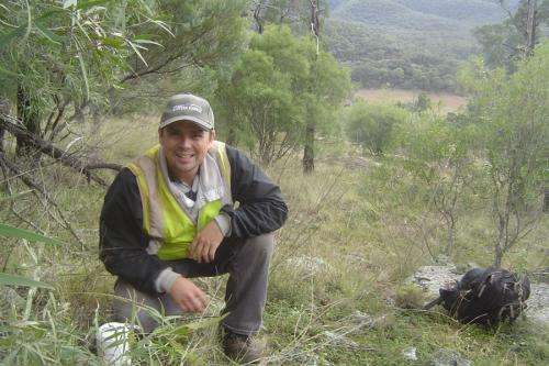
Dr John Gollan. Credit: Michael Ashcroft
(Phys.org) —Breakthrough research on identifying potential climate oases, called microrefugia, could set a new standard for reducing risk in land management, writes UTS research fellow Dr John Gollan.
How land for biodiversity conservation is chosen has been a research topic for decades. The more "traditional" ways are based on structural measures of biodiversity such as species richness (the numbers of different species), numbers of endemics (species restricted to an area), or the presence of species that may be endangered, threatened, or vulnerable.
While these methods will always be important, they fail to account for physical spaces in the landscape that will provide resilience and protection for biodiversity under a warming climate.
One category of space that is gaining much attention for climate change adaptation strategies is microrefugia – small areas of favourable climate within a region of generally unfavourable climate. However these pockets are also difficult to pinpoint and until now no study has ever attempted to map these across the landscape.
Conservation scientists from UTS, the Australian Museum Research Institute and the University of NSW have wrapped up a three-year ARC funded research program by producing a new way of identifying cool climate microrefugia and calculating how many hectares could be added to the conservation network if these unique areas were considered in protection schemes on private land.
The first step towards identifying potential microrefugia was to develop ways of producing climate maps that were at a fine enough scale so that they were relevant to the biodiversity we were interested in.
We've found that data from Bureau of Meteorology (BoM) weather stations are not the best renditions of the temperature conditions experienced by plants and animals. This is simply because BoM stations are rather sparse across the landscape and usually located in towns and cities. They are good for understanding the climate we live, but not so great for plants and animals in the wild. Some of our research on ants published in the journal Ecosphere and the endangered brush tailed rock wallaby in the Journal of Biogeography show evidence for this.
So in 2009 Dr Michael Ashcroft from the Australian Museum and I set out 150 miniature data loggers across the greater Hunter Valley region in NSW. The loggers recorded hourly temperature readings every hour, 24 hours a day.
In conjunction with local-scale drivers of climate like canopy cover, shelter from prevailing winds, and proneness to cold air drainage, we were able to produce the first ever, fine-scale regional climate maps. This work, published in The International Journal of Climatology, set the stage for identifying patches with unusually cool climate and relatively stable temperature.
The way that we are able to view the "thermalscape" like never before is very exciting for us conservation ecologists.
In the team's recent work published in the leading journal Conservation Biology, we've examined the distribution of cool climate patches across the Hunter Valley – just over 62000 hectares scattered across the landscape, of which 40100 hectares are on private or currently unprotected land.
In a fast changing world, alternatives to the traditional measures of choosing places to protect or target for conservation schemes are needed. What we have produced is a way forward in terms of practical adaptation strategies and a way to boost such schemes.
Journal information: Ecosphere , Journal of Biogeography , Conservation Biology
Provided by University of Technology, Sydney


