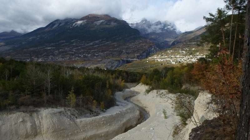
Scientists measured debris flow at the Illgraben Debris-Flow Monitoring Station in Switzerland. Credit: Sphoo/Wikimedia Commons, CC BY-SA 4.0
Debris flows are fast-moving and highly variable mixtures of soil, rock, water, and trees that can wreak havoc on downslope communities. Small debris lags behind larger particles, but it is not clear how this sorting occurs and what that means for the hazards nearby communities might face.
In a new paper published in Geophysical Research Letters, Jordan Aaron and colleagues measured a debris flow using 3D time-lapse lidar sensors that were originally developed for autonomous vehicles. Their sensors scanned the debris flow surface 10 times per second for the entire 30-minute event. Using these detailed measurements at an unprecedented spatial and temporal resolution, they determined the velocities of the debris flow throughout the event.
The team went to the Swiss Federal Institute for Forest, Snow and Landscape Research's Illgraben Debris-Flow Monitoring Station in Switzerland. The site is a hot spot for debris flows. Since the station opened in 2000, there have been two to 10 events each year, including the 2016 Illgraben debris flow, which was caught on video.
For this study, the team focused on an event that occurred on 19 September 2021. Soon after the debris flow reached the monitoring station, there was a spike in flow velocity. Before this velocity spike, large boulders and woody debris tended to move at similar velocities. However, after the spike, boulders moved about 60%–70% slower than the woody debris.
The researchers found the flow was highly nonuniform and unsteady. The velocity at the front of the flow ranged from about 0.8 to 2 meters per second. These front velocities were 1.2 to two times slower than the velocities of trailing material behind the flow front. Once boulders reached the leading edge, though, instead of being recirculated, they decelerated and remained a part of the flow front.
The highly detailed survey gave the researchers a fine-scale view of how debris flows move and how their constituent particles separate. These findings, they note, can help scientists assess and manage geohazard risks.
More information: Jordan Aaron et al, High‐Frequency 3D LiDAR Measurements of a Debris Flow: A Novel Method to Investigate the Dynamics of Full‐Scale Events in the Field, Geophysical Research Letters (2023). DOI: 10.1029/2022GL102373
Journal information: Geophysical Research Letters
Provided by Eos
This story is republished courtesy of Eos, hosted by the American Geophysical Union. Read the original story here.


