Credit: Pixabay/CC0 Public Domain
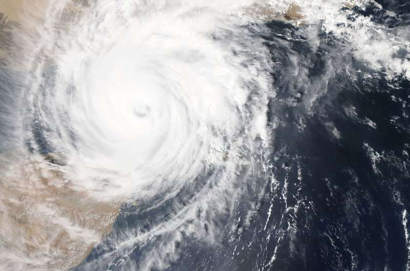
Gales and rainstorms brought by landfalling typhoons cause extensive casualties and loss of property every year in many coastal areas of the western Pacific. As such, predicting the track and precipitation of typhoons has always been a top priority of weather forecasting. The structural characteristics of the typhoon and the state of the surrounding environment will directly affect the development trend and track of the typhoon. Therefore, it is of great significance to update and correct the temperature, humidity, wind field, and other information relating to the typhoon and the surrounding area in a timely manner when forecasting typhoons.
Lu Zhang, Xiangjun Tian, and their team with the Institute of Atmospheric Physics at the Chinese Academy of Sciences, analyzed a typical typhoon—Typhoon Haikui (2012)—and used the multigrid NLS-4DVar method without tangent linear and adjoint models to assimilate Doppler radar data.
"We analyzed and discussed the predictions of typhoon structure, track, and precipitation," says Tian, "and we found that after assimilating radar data the intensity of the typhoon was closer to the observations."
According to their study published in Advances in Atmospheric Sciences, after the adjustment and improvement of the typhoon structure, the accuracies of the 12-h track and accumulated precipitation forecasts were significantly improved. In addition, the introduction of the multigrid strategy in the assimilation method also improved the efficiency.
"Our study provides a new assimilation method for the efficient assimilation of a large number of radar data," says Tian. "We hope it will help improve the accuracy of small- and medium-scale weather forecasts in numerical weather forecasting."
More information: Lu Zhang et al, Impacts of Multigrid NLS-4DVar-based Doppler Radar Observation Assimilation on Numerical Simulations of Landfalling Typhoon Haikui (2012), Advances in Atmospheric Sciences (2020). DOI: 10.1007/s00376-020-9274-8
Provided by Chinese Academy of Sciences


