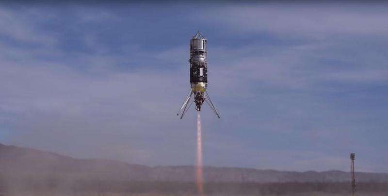
A rocket flying several landing technologies was recently flown in the Mojave Desert. These flight tests, coordinated by NASA, are helping to develop technology for precise landings in uneven terrain. Image Credit: NASA/JPL-Caltech
Canyons, craters and cracked ice fields on other worlds might be hiding exciting scientific discoveries. But how do we get spacecraft to land on dangerous, uneven terrain?
A new NASA video explains how cutting-edge technologies could help. A system called the CoOperative Blending of Autonomous Landing Technologies (COBALT) is being developed in the Mojave Desert, with participation from several partners, including NASA's Jet Propulsion Laboratory in Pasadena, California.
JPL's contribution is a computer vision program called the Lander Vision System (LVS). It allows rockets to analyze a site during landing and match it with a pre-loaded terrain map.
COBALT combines LVS with hardware from NASA's Langley Research Center in Hampton, Virginia: a laser-guided device called Navigation Doppler Lidar, which measures velocity as the rocket matches its position with the LVS terrain map. Both technologies have been integrated onto a Xodiac rocket developed by Masten Space Systems.
Credit: NASA
More information: For more information about the COBALT project, visit gameon.nasa.gov/cooperative-bl … g-technology-cobalt/
Provided by NASA


