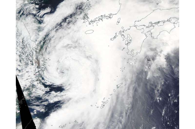
NASA sees Tropical Storm Danas track through the East China Sea

NASA's Aqua satellite provided a visible image of Tropical Storm Danas moving through the East China Sea on July 19, 2019.
On July 19, the Moderate Resolution Imaging Spectroradiometer or MODIS instrument aboard NASA's Aqua satellite captured a visible image of Danas that showed a large storm in the East China Sea. The storm is large and extends northeast into the Yellow Sea, east of the Korean Peninsula. The MODIS image also showed bands of strongest thunderstorms were east of the storm's center of circulation.
At 11 a.m. EDT (1500 UTC), the center of Danas was located near latitude 32.3 degrees north and longitude 125.1 degrees west. Danas was about 266 nautical miles south-southwest of Kunsan Air Base, South Korea. Danas was moving to the north-northeast and had maximum sustained winds near 45 knots (52 mph/83 kph).
The Joint Typhoon Warning Center expects Danas to approach the southwestern coast of South Korea by 11 p.m. EDT (0300 UTC on July 20); it is forecast to weaken due to frictional effects moving over land. Significant weakening is forecast after landfall.
Provided by NASA's Goddard Space Flight Center


