Understanding how extreme river flows and sea levels could provide early flood warning

A research paper in Estuaries and Coasts provides the first step in improving coastal flood risk by analyzing in detail, how long different UK rivers take to discharge to the coast following heavy storm rainfall.
This is combined with an analysis of differing estuary types, to see which estuaries are most likely to impede the floodwaters from entering the sea, due to their shape and size. Finally, the paper considers the likelihood of the river flood-waters coinciding with a storm surge (a storm often produces both heavy rain and strong winds that drive the surge) or high tide at the coast.
Matching flood flow speeds and timings in different rivers with an understanding of which estuaries are most likely to experience storm surges, or when they might coincide with spring tides, could inform future flood protection measures.
Such analysis could be valuable as the UK anticipates future extreme rainfall to intensify in the coming decades.
Previously, flooding has been investigated using daily-mean river flows, but this new work has shown that the many short and steep river catchments on Britain's west coast drain rapidly, within a matter of hours, meaning that the daily-means mask out the extreme river behavior that drives the flooding. This information will help climate modelers to produce future river flow projections at the appropriate temporal scales to predict changes in flood risk.
Conwy valley flooding
Peter Robins, senior lecturer in physical oceanography at Bangor University explains, "Most heavy storms and winds track-in from the Atlantic and hit the west and northwest coasts of Britain. In addition, the west coast catchments are mostly small and mountainous. This means that they fill up and drain out to the sea remarkably quickly, perhaps within a few hours."
"These catchments therefore tend to experience several potential 'compound flooding' events each year, with the chance of flooding actually happening being sensitive to the subtle timings of the combined river and sea level behavior."
"Over in the east, the catchments are often large and flat and take several days to drain. Here, flooding tends to be driven by either prolonged periods of heavy rain, or from easterly storm surges, but rarely both combined. These extreme events are less common and more predictable than in the west."
Top 10
The 10 rivers identified as the most susceptible to these compound events are the Lune, Orchy, Stinchar, Nith, Lochy, Nevis, Duddon, Kent, Conwy and Cree.
With the exception of Tweed, which appears lower down the table, most are located on the west and north west coasts.
"We perceived a gap in the river-discharge data which was being collected, but not analyzed," explained Charlotte Lyddon, formerly of Bangor University and now at the University of Liverpool.
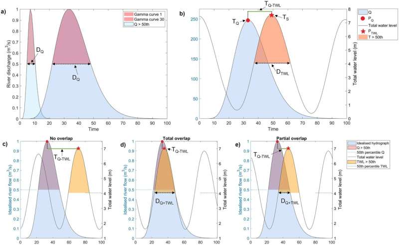
"Using pre-existing data sets for 126 estuaries across the UK, showing river flow every 15 minutes, and covering several decades, we looked at the time it took for heavy rain to flow down river and the time it takes for storm surges to reach the coast, to see how likely it was that these two factors would occur together in these very extreme ways."
"While there may be no surprises here as to which areas flood, we found that there was no historical analysis as to why floods took place. Identifying these compound events will help in the development of models which will be able to forecast such events in the future."
More information: C. Lyddon et al, Historic Spatial Patterns of Storm-Driven Compound Events in UK Estuaries, Estuaries and Coasts (2022). DOI: 10.1007/s12237-022-01115-4
Provided by Bangor University


