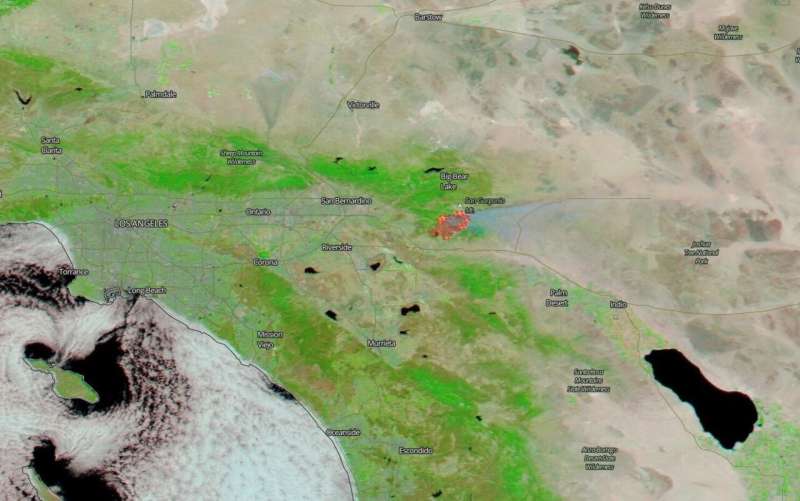
NASA satellites show two views of California's Apple Fire

NASA's satellites were working overtime as they snapped pictures of the large Apple Fire in Banning Canyon near San Bernardino, California on Aug. 02, 2020. This fire began on July 31, 2020 and the cause of the fire is still under investigation. To date the fire has consumed 20,516 acres and is 5% contained.
Much of the northern and eastern edge of the fire is located in very steep, rugged hillsides not easily accessible to firefighting vehicles. Low humidity, high temperatures, low moisture content in the surrounding vegetation and winds all contribute to the spread of fire once it breaks out. This fire is burning in an area that haso not had fire activity in recent years leaving it with plenty of fuel for growth. Hot, dry conditions are expected to continue in the area.

Provided by NASA's Goddard Space Flight Center


