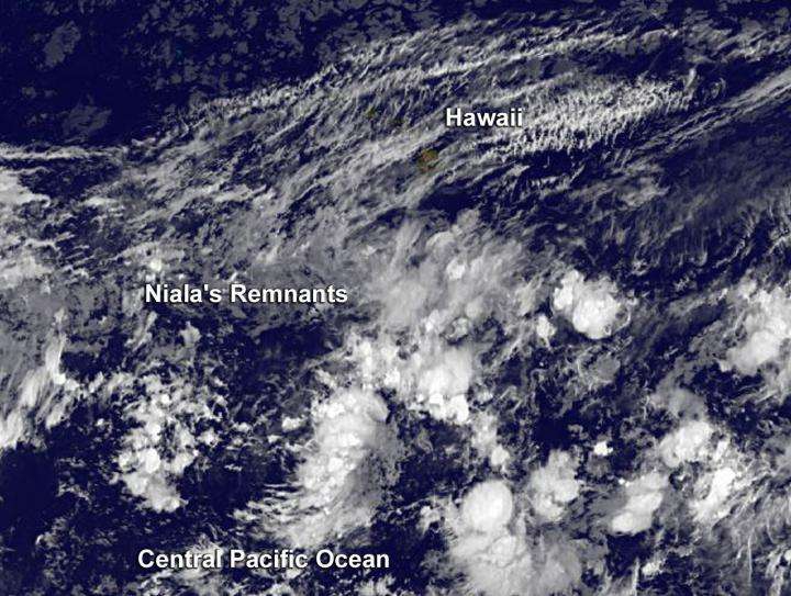
Satellite view of remnants of post-Tropical Cyclone Niala

Post-Tropical Cyclone Niala faded under a hostile atmospheric environment and an infrared satellite image shows the torn-apart storm's remnants southwest of Hawaii.
NOAA's Central Pacific Hurricane Center (CPHC) issued the final bulletin on Niala at 0300 UTC (11 a.m. EDT on Sept. 28). At that time the center was about 405 miles south of Honolulu, Hawaii and moving to the west-northwest. Niala ceased to qualify as a tropical cyclone.
NOAA's GOES-West satellite provided an infrared image of the remnant clouds associated with what was once Tropical Cyclone Niala. In the image, the remnants appear as shapeless clouds covering a large area southwest of Hawaii, although an area of thunderstorms persisted around post-tropical/remnant low. The image was taken on September 29, 2015 at 1200 UTC (8 a.m. EDT/2 a.m. HST).
CPHC said that hostile shear environment is expected to prevent re-development in this area for the next few days.
Provided by NASA's Goddard Space Flight Center


