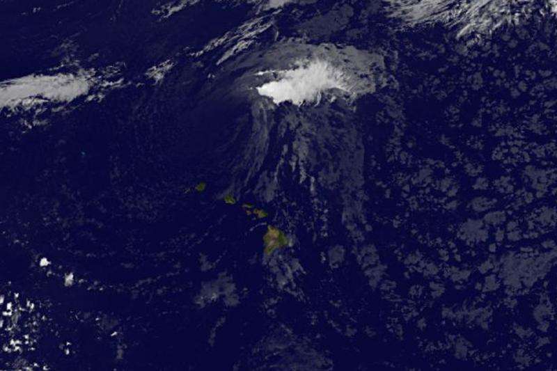
Satellite spots Jimena's remnants north of Hawaiian Islands

NOAA's GOES-East satellite captured an infrared image of the remnants of what was Tropical Storm Jimena as it continued moving past the northern Hawaiian Islands on September 10.
At 8 a.m. EDT on September 10, NOAA's Central Pacific Hurricane Center (CPHC) noted that remnant low that had been tropical depression Jimena was located around 225 miles north of Lihue, Hawaii. The remnant low has been moving west to west-southwest near 10 mph.
NOAA's GOES-West satellite captured an infrared look at the remnant low pressure area on Sept. 10 at 10:00 a.m. EDT as it continued moving north of Hawaii. The GOES image showed that the strongest part of the remnant low was east of the center where some clouds and storms were still visible.
CPHC noted that environmental conditions will likely inhibit redevelopment of the system.
Provided by NASA's Goddard Space Flight Center


