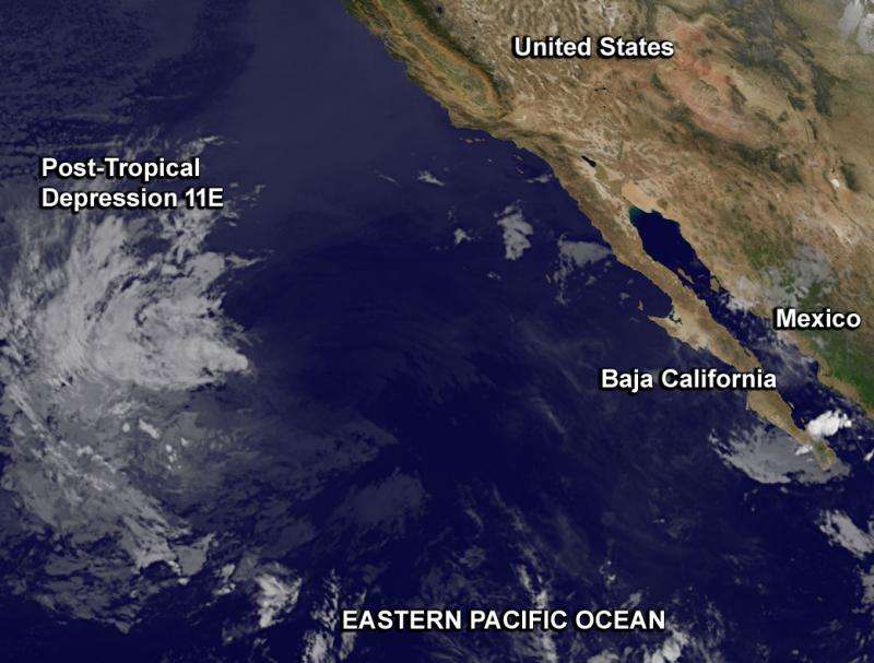
Satellite sees the end of Tropical Depression 11E

Tropical Depression 11E came to an end early today, Tuesday, August 18 when the National Hurricane Center noted that the storm degenerated into a remnant low pressure area. NOAA's GOES-West satellite caught an infrared image of the fizzling system.
At 5 a.m. EDT (2 a.m. PDT/0900 UTC) the National Hurricane Center (NHC) issued the final bulletin on Post-Tropical depression 11E. At that time, the center of Post-Tropical cyclone 11E was located near latitude 24.9 North and longitude 125.6 West. It had fizzled about 1,000 miles (1,610 km) west of the southern tip of Baja California, Mexico. Maximum sustained winds were near 30 mph (45 kph). The post-tropical cyclone is moving toward the northwest near 16 mph (26 kph). The estimated minimum central pressure is 1005 millibars.
After the final bulletin by the NHC, the depression degenerated into a remnant low pressure area. The circulation center of the remnant low pressure area was difficult to find in the GOES-West infrared image taken at 12:45 UTC (8:45 a.m. EDT).
For additional information on the remnant low see high seas forecasts issued by the National Weather Service.
Provided by NASA's Goddard Space Flight Center


