This article has been reviewed according to Science X's editorial process and policies. Editors have highlighted the following attributes while ensuring the content's credibility:
fact-checked
reputable news agency
proofread
'Hurricane hunters:' Calm science pilots in eye of the storm
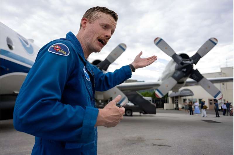
When Hurricane Sally slammed coastal Florida in 2020, US pilot Dean Legidakes was aboard a scientific aircraft flying directly into the storm's core.
Once back on land, he learned how the disaster literally hit home.
"Our house got destroyed," his mother told him in a phone call from the battered state.
For this "hurricane hunter" employed by the American government, helping improve forecasting for these potentially destructive storms is personal.
"Satellites can't do what we can," the 38-year-old National Oceanic and Atmospheric Administration pilot and father of three from Pensacola, Florida told AFP.
"We really get into that storm and measuring that stuff is super important."
Each year, two NOAA turboprop WP-3D Orion aircraft criss-cross the North Atlantic to refine meteorologists' live forecasts of the paths and intensity of the hurricanes that threaten land.
Their high-tech meteorological instruments could be more essential than ever in 2024, as the hurricane season—from early June to late November in the United States—is forecast to be an "extraordinary" one, with up to seven storms of Category 3 or higher expected.
While most aviators focus on avoiding turbulence, NOAA pilots are flying straight into it.
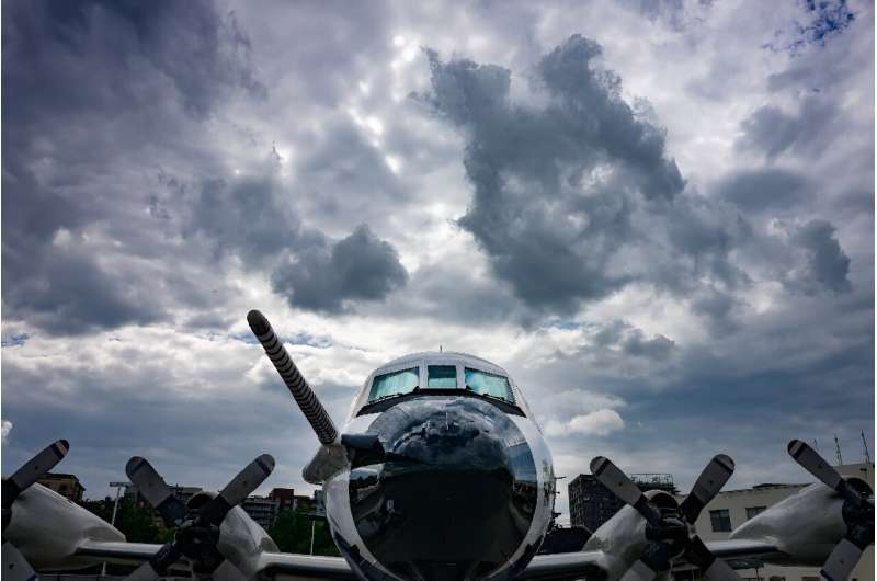
Legidakes, who served in the US Navy, confesses he is a jumble of nerves each time he heads into such a "dangerous environment."
But "if you're not nervous... you shouldn't be doing it," he said.
'Roller coaster through a car wash'
His colleague Kevin Doremus, 36, counts some 140 passes through a storm's eyewall and into the eye over his six years as a hurricane hunter.
How does he describe the sensation?
"Like riding an old wooden roller coaster through a car wash," Doremus said.
"Your stomach comes up a little bit, and then you hit the bottom and you kind of sink into your seat," he explained. "It's a lot of that, (but) for sometimes eight hours at a time."
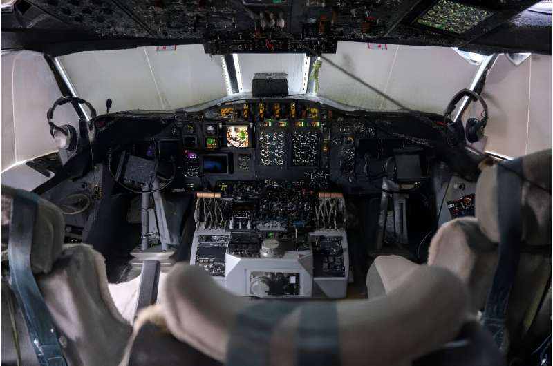
The updrafts and downdrafts are the hardest to cope with, he said, standing at the entrance to an instrument-covered cockpit.
"You just have to kind of ride with it," he said, as fighting the winds could damage the aircraft.
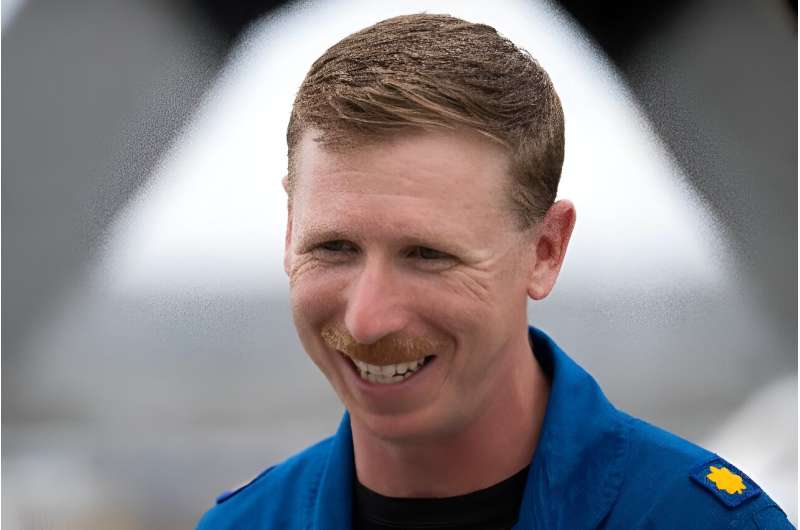
'Sobering'
In the military-style cabin, seats are equipped with airsickness bags. Multiple screens show streams of data collected by the aircraft's various radar equipment and other high-tech instrumentation.
Each mission lasts 8-10 hours and features a team of about a dozen: pilots, engineers, flight directors and scientists.
The planes contain bunks, but it's "hard to nap in a hurricane," Doremus acknowledged.
Sometimes in the eye of the storm, where winds are calm, the planes fly in circles.
"Everyone thinks we're doing science," he chuckled. "We're actually just letting everybody get up and use the bathroom."
The planes, nicknamed after Muppets "Kermit" and "Miss Piggy," fly at up to 10,000 feet (3,000 meters). In service since the 1970s, neither has suffered a serious accident.
Their fuselages are decorated with stickers bearing the names of hurricanes past. Each pilot remembers one in particular.
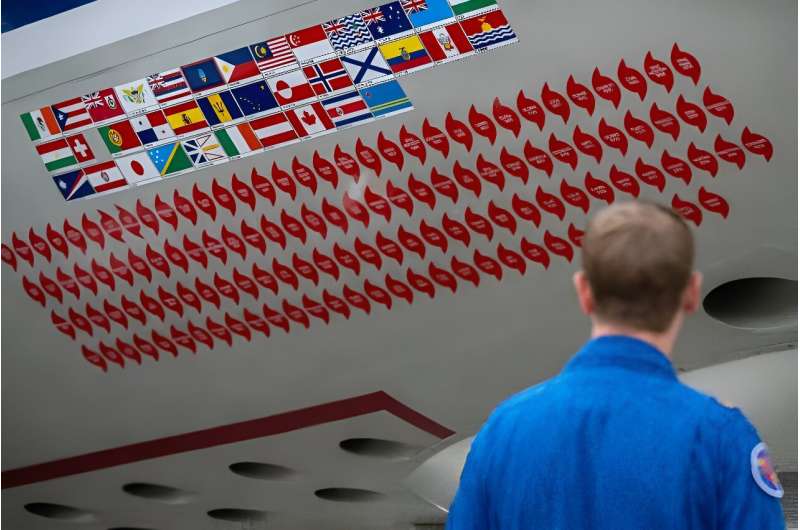
For Doremus, it's Hurricane Dorian, which in 2019 ravaged the Bahamas as an extremely powerful Category 5 storm.
He said he couldn't quite grasp the enormity of the impact on land.
"It was a pretty sobering experience to look down and see that there's people's houses down there," he said.
'Crazy'
For Michael Brennan, director of NOAA's National Hurricane Center headquartered in Florida, "there's no question that the data these aircraft collect go directly to saving lives and reducing economic impact" because they improve forecasting models by 10 to 20 percent, he told AFP.
The improved accuracy, especially in forecasting coastal storm surge, helps determine whether authorities might declare a mandatory evacuation, for example, or keep a critical port open.
Each threatening storm is tracked over several days.
"We have definitely seen an uptick in the amount of storms that go through what we call rapid intensification," Doremus said, referring to a phenomenon scientists say is growing due to climate change.
To better understand such tropical cyclones, the crew launches several dozen parachute-bearing cylinders, known as dropsondes, via a tube in the aircraft floor.
As they descend, they collect data on air pressure, humidity, temperature and wind speed.
"Kermit" and "Miss Piggy" are slated for retirement in 2030, by which time NOAA hopes a pair of replacements will be operational.
Meanwhile, the pilots continue to provoke opposing reactions when discussing their daredevil profession.
According to Legidakes, either "'You're dumb for doing that. That sounds crazy,' or "That's really cool!'"
© 2024 AFP


