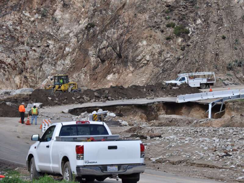
The wildfire one-two: First the burn, then the landslides

After the record-breaking 2020 wildfire season in California, the charred landscapes throughout the state faced elevated risks of landslides and other postfire hazards. Wildfires burn away the plant canopy and leaf litter on the ground, leaving behind soil stripped of much of its capacity to absorb moisture. As a result, even unassuming rains pose a risk for substantial surface runoff in the state's mountainous terrain.
California has a history of fatal landslides, and the steep, burned hillsides are susceptible to flash flooding and debris flows. Fire-prone regions in the state rely on rainfall thresholds to anticipate the conditions for which postfire debris flows are more likely.
In a new study, Thomas et al. combined satellite data and hydrologic modeling to develop a predictive framework for landslides. The framework uses inputs, including vegetation reflectance and soil texture, among others, and physics-based simulation of water infiltration into the soil to simulate the hydrologic triggering conditions for landslides. The output offers thresholds to monitor the probability of landslides in the years after a burn.
The researchers tested their model against postwildfire soil moisture and debris flow observations from the San Gabriel Mountains in Southern California. The authors found that their results were consistent with recent debris flow events and previously established warning criteria. Additionally, they suggest that rainfall patterns, soil grain size, and root reinforcement could be critical factors in determining the probability of debris flows as burned landscapes recover.
The results suggest that the model could track soil hydraulic conditions following a fire using widely available rainfall, vegetation, and soil data. Such simulations could eventually support warning criteria for debris flows. The simulation framework, the authors note, could be beneficial for regions that have not historically experienced frequent fires and lack monitoring infrastructure.
More information: Matthew A. Thomas et al, Postwildfire Soil‐Hydraulic Recovery and the Persistence of Debris Flow Hazards, Journal of Geophysical Research: Earth Surface (2021). DOI: 10.1029/2021JF006091
Provided by Eos
This story is republished courtesy of Eos, hosted by the American Geophysical Union. Read the original story here.


