Hurricane Alpha? Amped up season forecast, names may run out

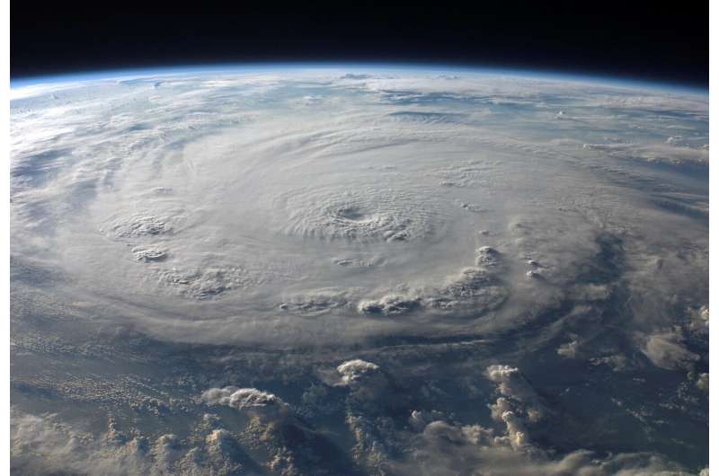
Already smashing records, this year's hyperactive Atlantic hurricane season is about to get even nastier, forecasters predict. In the coming months, they expect to run out of traditional hurricane names and see about twice as much storm activity as a normal year.
The National Oceanic and Atmospheric Administration on Thursday upped its killed at least nine people and left millions of people without power.
"Nine storms to this date is crazy," Klotzbach said. Since 1995, when the Atlantic started a more active period for hurricanes, the average season has seen 12 named storms forming after August 5, he said.
The number of storms don't matter as much as where they go, MIT meteorology professor Kerry Emanuel said, noting the busy 2010 hurricane season that barely touched the United States.
While the predictions are about the number of storms and don't say where they strike, Klotzbach's forecast says more storms increases the chance of another U.S. landfall. It says there's a 74% chance that yet another storm will hit the U.S. coastline somewhere, with a 49% chance of a hit on the East Coast and Florida peninsula and a 48% chance of a hit on the Gulf Coast.
Most of this year's storms so far have been weak, decapitated by high level winds and dry air, but Klotzbach said that's about to change.
Sea surface temperatures in the eastern Atlantic are nearly 2 degrees (1 degree Celsius) warmer than normal. That not only provides more fuel for storms but changes air pressure and winds to make favorable conditions for storms to form and strengthen, he said.
Emanuel of MIT pointed to an extra quiet Pacific storm season as another indicator for an active Atlantic. When the Pacific is quiet, the Atlantic tends to be much busier as they tend to balance out.
Also, water temperatures near the equator in the Pacific are cooling, with a brewing La Nina, which is the flip side of El Nino. Research shows there are usually more Atlantic storms during a La Nina.
Even though studies predict that a warmer world means generally stronger and wetter hurricanes, NOAA's Bell and Emanuel said there are so many complicated factors in an individual season they can't say either way whether man-made climate change is a factor in active years like 2020.
Bell said the biggest climatic factor "that dominates the hurricane trend" is a 25-to-40-year natural cycle of busy and weak hurricanes connected to large-scale Atlantic ocean and air patterns. The current active cycle started in 1995 "and we don't know how long it's going to last," Bell said.
© 2020 The Associated Press. All rights reserved. This material may not be published, broadcast, rewritten or redistributed without permission.


