May 28, 2019 report
Resurvey of mountains depicted in Tableau Physique reveal errors, impact of climate change

A team of researchers from Toulouse University, Pontificia Universidad and CNRS, Université de Montpellier, has conducted a resurvey of the mountains depicted in the famous "Tableau Physique," and in so doing, have found both errors in the drawings and the true impact of climate change on the region. In their paper published in Proceedings of the National Academy of Sciences, the group describes the errors they found and the degree of vegetative change they recorded in the area.
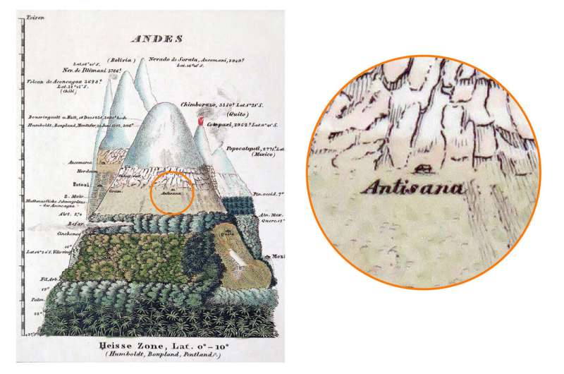
In 1807, Alexander von Humboldt published "Tableau Physique"—a diagram showing a cross-section of mountains in the equatorial Andes, along with plant names. The point of the diagram was to show how the environment changes as elevations increase. In this new effort, the researchers revisited the places where von Humboldt had traveled with his companion botanist Aimé Bonpland to note the vegetation they found and to compare it to the diagram von Humboldt created.
The researchers report that they discovered several errors in the drawing, mostly discrepancies regarding the altitudes at which certain plants were growing. But there was also one glaring error—von Humboldt had either been confused about where he was when describing vegetation growing at different altitudes on Chimborazo, a volcanic mountain, or he had mislabeled it.
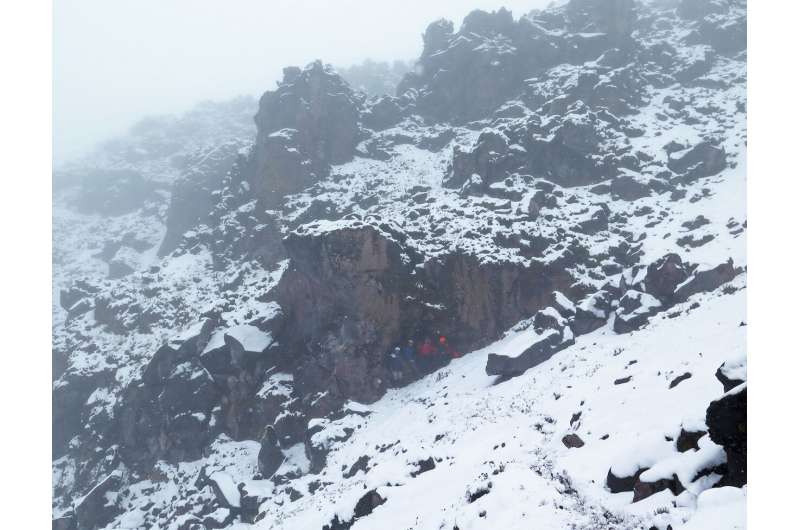
The modern researchers found that von Humboldt and Bonpland were actually on a different mountain—the one created by the volcano Antisana. At the correct location, the researchers found details that the earlier researchers had described, such as a cave where von Humboldt and Bonpland had camped in 1802. The modern researchers collected the same kinds of plants as the earlier researchers, noting the altitudes at which they were found. They report that their findings are significant because other modern researchers have been using the incorrect altitude data when making claims about differences due to climate change. The new survey showed, for example, that the highest plants on the mountain were growing 215 to 266 meters higher than von Humboldt and Bonpland had found. Other researchers using the incorrect data had claimed plants were growing up to 500 meters higher than they were during the 1800s.

More information: Pierre Moret el al., "Humboldt's Tableau Physique revisited," PNAS (2019). www.pnas.org/cgi/doi/10.1073/pnas.1904585116
Journal information: Proceedings of the National Academy of Sciences
© 2019 Science X Network


