Antarctica's hidden landscape shaped by rivers in warmer era

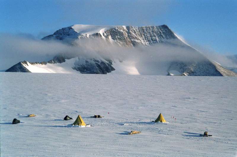
Antarctica's mountainous landscape was shaped by rivers rather than carved by glaciers as previously thought, a study has revealed.
The continent's mountains and valleys, mostly covered by ice up to 4 kilometres thick, were formed millions of years ago, after Antarctica's landmass separated from that of Australia, India and Africa, but before it was inundated by an ice sheet, research suggests.
The improved knowledge of how Antarctica's landscape evolved could be a vital aid to understanding how the ice sheet might respond to continued climate warming.
Researchers from the University of Edinburgh and Durham University studied the landscape beneath the Antarctic ice sheet and compared it to the landscapes of the southern continents, to reconstruct how Antarctica's landscape would have looked before it was covered by ice.
Their study shows that West Antarctica shares a similar landscape, and evolved in a similar way, to other regions including southern Africa, Australia and Madagascar. Characteristics such as river valleys, plains, mountain escarpments and basins are the same.
Antarctica was formed following the break-up of an ancient supercontinent, known as Gondwana, which contained about half the world's land mass. The process, which shaped the lands of the southern hemisphere, began about 160-180 million years ago. Ice sheet formation on Antarctica began later, some 34 million years ago.
The research, published in Scottish Geographical Journal, was funded by the Natural Environmental Research Council.
Knowledge of the pre-glacial landscape helps determine where glaciers first formed. It also helps understand the nature of the ice sheet bed and the location of deep troughs carved into the land by present-day glaciers that affect the stability of the ice sheet, which is useful for forecasts.
Professor David Sugden, from the University of Edinburgh's School of Geosciences, who led the study, said: "It is remarkable to stand on the slopes of a mountain in South Africa and realise that their exact equivalents lie preserved in ice in Antarctica.
"The pre-glacial landscape of Antarctica is less well known than the surface of the Moon and Mars, and yet it plays a part in how the continent's ice sheet responds to global warming. Learning how it has evolved will help us to better forecast future changes."
Dr. Stewart Jamieson, of the Department of Geography at Durham University, who took part in the study, said: "The research is an integral part of an effort by the scientific committee on Antarctic research to try to understand how the Antarctic Ice Sheet might respond to climates that are warmer than present."
More information: David E. Sugden et al, The pre-glacial landscape of Antarctica, Scottish Geographical Journal (2018). DOI: 10.1080/14702541.2018.1535090
Provided by University of Edinburgh


