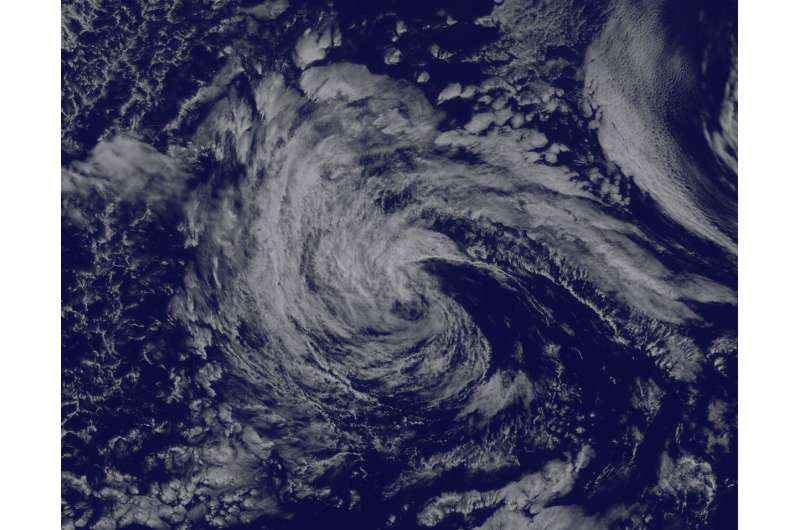
Satellite tracks the remnants of Tropical Storm Georgette

Tropical Storm Georgette faded fast in the Eastern Pacific and NOAA's GOES-West satellite captured an image of the remnant clouds.
NOAA's GOES-West satellite captured a visible light image of the remnant clouds associated with former Tropical Storm Celia at 1715 UTC (1:15 p.m. EDT). The National Hurricane Center (NHC) issued their final advisory on the storm at 11 a.m. EDT when they noted that Georgette had become a remnant low pressure area.
Georgette had no organized strong convection and thunderstorm development since about 0100 UTC (July 26 at 9 p.m. EDT) and that's apparent in the GOES image where the storm appears as a swirl of clouds, mostly north and west of the center. The image was created by the NASA/NOAA GOES Project at NASA's Goddard Space Flight Center, Greenbelt, Maryland.
At 11 a.m. EDT (1500 UTC), the center of Post-Tropical Cyclone Georgette was located near latitude 19.5 North, longitude 129.7 West. That's about 1,295 miles (2,085 km) west of the southern tip of Baja California. The post-tropical cyclone was moving toward the west-northwest near 9 mph (15 kph). At the time, maximum sustained winds had decreased to near 35 mph (55 kph).
The remnants were moving over cooler sea surface temperatures which are expected to help dissipate them within three days.
Provided by NASA's Goddard Space Flight Center


