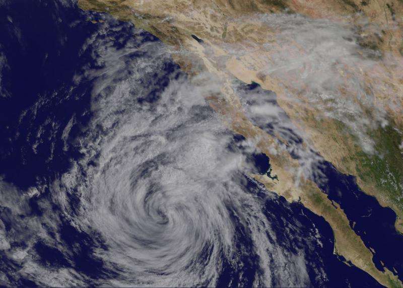
Satellite sees Tropical Storm Linda weakening near Baja California

NOAA's GOES-West satellite saw a much weaker Tropical Storm Linda near the Baja California Peninsula of Mexico on September 10. The infrared image showed Linda as a swirl of clouds with strongest thunderstorms on the eastern side.
Although Linda was downgraded to a tropical storm it was close enough to the Baja California coast to cause concern with ocean conditions. The Pacific coasts of Baja California will be affected by swells, which will generate life-threatening surf and riptide conditions.
At 11 a.m. EDT (1500 UTC), the center of Tropical Storm Linda was located near latitude 26.0 North, longitude 118.6 West. That's about 250 miles (400 km) west-southwest of Punta Eugenia, Mexico.
Linda was moving toward the northwest near 7 mph (11 kph) and the National Hurricane Center forecast expects that this motion is expected to continue today. A turn toward the west-northwest and a decrease in forward speed are expected tonight. Maximum sustained winds have decreased to near 40 mph (65 kph) with higher gusts.
Additional weakening is forecast, and Linda is expected to become a remnant low later on September 10 as it continues to turn to the west-northwest and away from land.
Provided by NASA's Goddard Space Flight Center


