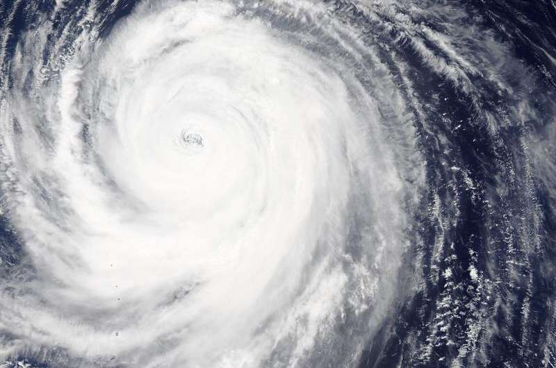
NASA sees wide-eyed Typhoon Atsani ready to curve

NASA's Aqua satellite saw a clear and large eye in Typhoon Atsani when it passed overhead on August 21, as the storm begins to turn to the northeast and curve away from Japan.
On August 21 at 03:15 UTC (August 20 at 11:15 p.m. EDT), the Moderate Resolution Imaging Spectroradiometer (MODIS) instrument aboard Aqua captured a visible image of the storm. The MODIS image clearly showed the wide 46 nautical-mile-eye (53 mile/85 km) of the hurricane.
On August 21 at 1500 UTC (11 a.m. EDT) Atsani's maximum sustained winds were near 100 knots (115.1 mph/185.2 kph). It was centered near 25.9 North latitude and 145.3 East longitude, about 233 nautical miles (397 miles/638.9 km) east-northeast of Iwo To. Atsani is moving to the northwest at 9 knots (10.3 mph/16.6 kph), and is expected to begin turning to the northeast.
The storm is expected to start transitioning to an extra-tropical system as it curves northeast, and stays well south of Japan.
Provided by NASA's Goddard Space Flight Center


