June 12, 2015 report
Researchers narrow birth estimate for the Takliman Desert

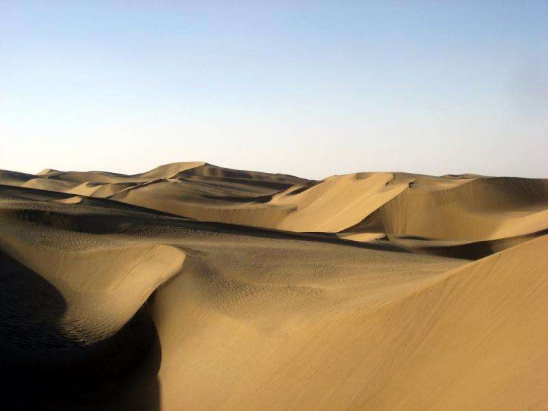
The second largest sand sea in the world, the Takliman Desert in central Asia influences geology, the global climate, and has even shaped the development of global human culture—the two branches of the Silk Road along its southern boundary were shaped by the need to avoid its vast, arid wastes.
It is an extreme inland desert, bounded on the south by the Kunlun mountains, the Gobi Desert to the east, and by the Pamir mountains and the Tian Shan mountain ranges on the west and north. Situated in the rainfall shadow of these mountain ranges, the Takliman is utterly deprived of precipitation. Because of its geographic proximity to Siberia, it registers some of the planet's record cold temperatures during the winter months, and cold nighttime lows in the summer.
The Takliman is a potent source of the dust in the global aerosol system. Therefore, the development of the desert during Earth's geologic history was a significant event, and understanding precisely when this arid land formed is key to understanding how the global climate developed into the system we know today. Unfortunately, the area is characterized by a lack of datable geologic sources, and the dominant view, still controversial, is that the desert formed between 3.4 million and 7 million years ago.
A group of researchers has narrowed the previous estimates, thanks to the recent discovery of a volcanic tuff, identified from two sedimentary sections in the southwestern margin of the Tarim Basin. They have published the results of their study in the Proceedings of the National Academy of Sciences.
The Tarim Basin and the initial desertification
The Tarim basin, in which the Takliman is the dominant feature, was influenced by a shallow sea from the late Cretaceous to the early Paleogene. This sea was connected to an epicontinental marine seaway called the Paratethys, which receded around 41 million years ago. Regional aridification and increased erosion in the mountain fronts contributed to a climactic tipping point that resulted in the formation of the Takliman. Massive siltstone lenses sourced from the desert intercalcated in many regions, and are preserved in a system of alluvial fan formations.
Today, the Takliman is surrounded by diluvial fan systems linking the uplifting mountain chains and the Tarim Basin. The mountains shed sediments, which are eroded by a variety of processes and are delivered to the basin through the fan systems, eventually sorted into silt and sand fractions which contribute to the desert.
The researchers identified volcanic ash, ideal for radioisotropic dating, intercalcated in some Tarim Basin sections that have been previously dated via magnetostratigraphy to the Plio-Pleistocene age. The dating of the volcanic ash constrains the previous estimates of the age of desertification, which the authors conclude occurred in the late Oligocene to the early Miocene, between ~26.7 million years and 22.6 million years ago.
The authors write, "We therefore argue that, by the late Oligocene to early Miocene time, the Tarim Basin, surrounded by a rising Tibetan-Pamir Plateau and Tian Shan, had become fully arid and desertified, supplying dust to the mountain fronts, where it accumulated as loess."
More information: "Late Oligocene–early Miocene birth of the Taklimakan Desert." PNAS 2015; published ahead of print June 8, 2015, DOI: 10.1073/pnas.1424487112
Journal information: Proceedings of the National Academy of Sciences
© 2015 Phys.org


