Ecology on the wing
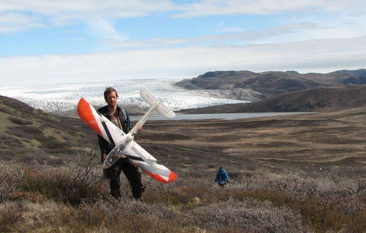
Drones have been flying over the Ugalla Forest in Western Tanzania. Far from being part of a military operation, these drones are being used to map chimpanzee habitat as part of an international research collaboration.
Aerial photography is increasingly being integrated into conservation efforts worldwide, and ecologist Jeff Kerby is helping make it happen. Kerby, who recently finished his doctoral program at Penn State, used drones in his own research, and also shares his knowledge of the new technology to improve international conservation management. Last April, Kerby trained conservation officers in South America in the use of drones, and recently began working on projects in Africa, with the aims of streamlining management practices and expanding ecological research into new domains.
Kerby first turned to drones to gather information he could not obtain any other way. He studies the relationships between climate, vegetation, and caribou in Greenland. But caribou can travel long distances, even when they have settled onto their summer calving range, and Kerby found it challenging to track them on foot in this remote and roadless area.
"I heard that people in archeology use kites to map out dig sites from above at really high resolution, and I realized, 'oh man, ecologists should do this too', " he says. He talked to landscape architects and archeologists at Penn State who use kites and balloons to perform aerial mapping.
"So I got a kite, went out to Greenland, and started mapping," says Kerby. "I realized that you can get really fascinating data, but it was hard to get the spatial extents that I was hoping for. And that led to drones."
What are drones?
Drones, or unmanned aerial vehicles (often referred to as UAVs), are aircraft that do not have an onboard pilot. Instead, they are guided from the ground by remote control or are programmed to run autonomously. Though widely used in agriculture, drones have only recently been integrated into ecological research, and Kerby didn't know if they would be suitable for his work.
"'Can we count animals with them?'" he recalls asking himself. "'Can we fly them frequently enough to monitor plant development? I don't know. Can I support it logistically in a remote location like Greenland? I don't know.' So I spent basically two summers pilot-projecting these ideas, making a lot of mistakes, and learning a lot along the way."
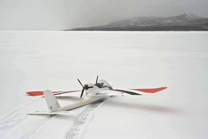
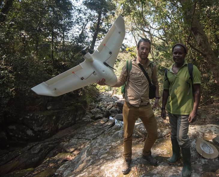
Kerby uses a type of drone that is shaped like a small airplane. "They're not very visually impressive. It's basically just a small foam toy with a camera in it," he says.
For his research, he prefers the airplane style to a multi-rotor drone for logistical reasons.
"The quad-copters can't fly for as long, because they have four engines and they're always using battery power for lift in addition to steering. An airplane can weigh less, it generates lift from its wings, and has one really small engine. So you can stay in the air with an airplane for an hour plus, whereas with one of these quad copters it's more often only 15 minutes."
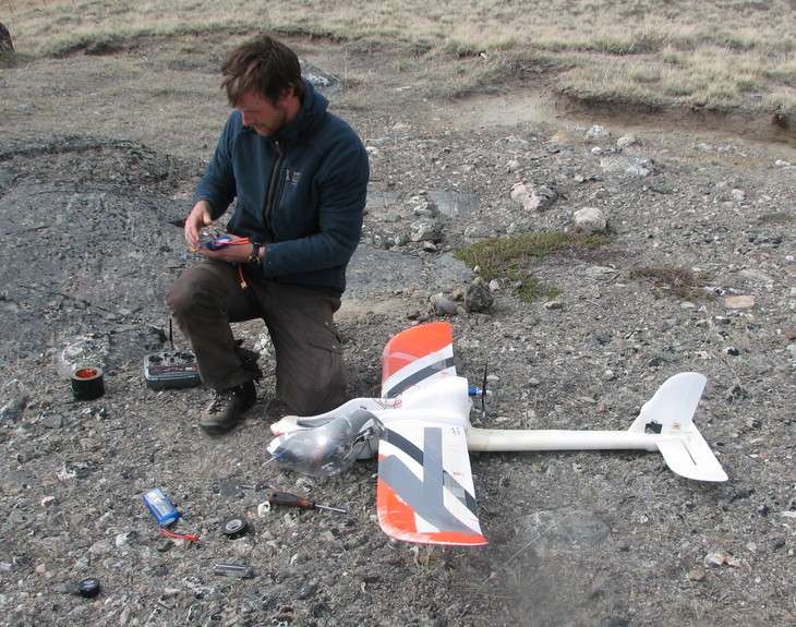
Kerby's airplane-style drones weigh four to five pounds and are fairly easy to maintain, a big advantage in his remote study area. Because they are made out of lightweight foam called EPO, which resembles Styrofoam but is less prone to breakage. Kerby says they are easy to glue back together if they become damaged. Although propellers occasionally break on landing, they are only $2 or $3 to replace, so Kerby brings extras with him.
Each of his drones carries a GPS, a motor, and a small point-and-shoot camera. The camera can be programmed to turn on after a delay, for example to account for flight time before reaching an area of interest. It can take photographs at specific time intervals or can be linked to the GPS in order to capture enough overlap between photographs to make a continuous map.
Although he has not yet used drones to track caribou, Kerby has started a project to determine whether he can use them to monitor shrub expansion in Greenland.
"Shrub expansion is a big issue that's occurring throughout the Arctic," he says. "As it warms, shrubs can start spreading. They're darker than the grass communities in the tundra, so they absorb more heat and they warm up the ground faster." That may have cascading effects, changing the reflectance of the region, how permafrost melts, and how much of certain gases like methane is released into the atmosphere. Shrub growth can be challenging to measure from the ground, but Kerby thinks drones may enable him to count the dark shrubs and measure their growth from the air.
Drones in conservation efforts
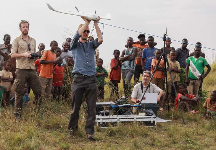
Kerby recently joined the group Conservation Drones and has traveled to several locations around the world to integrate drones into research and conservation efforts, such as monitoring wildlife and mapping large, dangerous, or hard-to-reach areas.
This summer, Kerby took his drones to Tanzania to census chimpanzee nests with colleagues from Liverpool John Moores and Cambridge Universities and the Jane Goodall Institute. Usually these counts are performed on foot, but using drones allowed researchers to cover a much larger area at reduced time and cost. This year, they counted chimpanzees both on foot and with drones to see how well the numbers match up. If using drones was effective, they can potentially use the method with other species.
Kerby will soon move on to new projects, both for conservation efforts and for his own research. "I'm going to keep using drones," he says. "Not as a drones-for-drones-sake kind of thing, but it's going to be a part of my toolbox that I absolutely use wherever I go. And I'm going to continue to try to spread the word and help educate people about using drones for good."
Provided by Pennsylvania State University


