This article has been reviewed according to Science X's editorial process and policies. Editors have highlighted the following attributes while ensuring the content's credibility:
fact-checked
trusted source
proofread
Video: European satellite captures lightning strikes

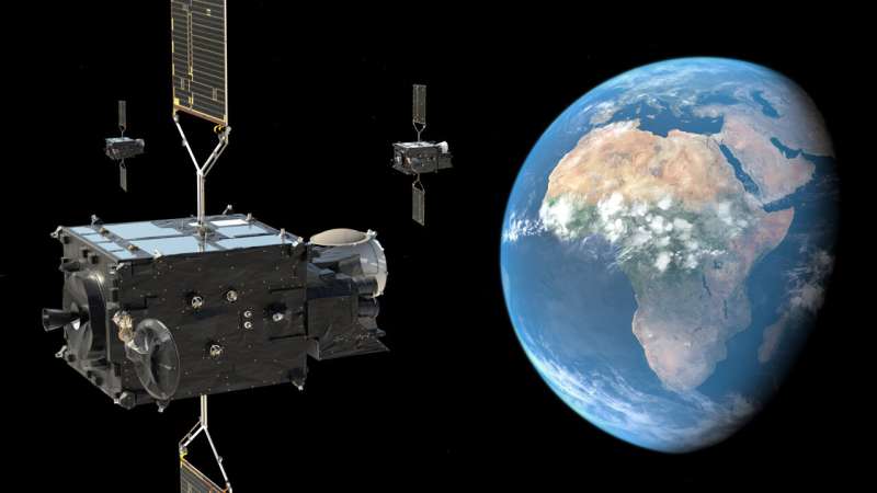
The first ever satellite instrument capable of continuously detecting lightning across Europe and Africa has now been switched on. New animations from the innovative 'Lighting Imager' confirm the instrument will revolutionize the detection and prediction of severe storms.
ESA along with European Organisation for the Exploitation of Meteorological Satellites (Eumetsat) today have released the first animations from the Lightning Imager onboard the first Meteosat Third Generation satellite, which launched on 13 December 2022.
The Lightning Imager, built by Leonardo, can continuously detect rapid flashes of lighting in Earth's atmosphere whether day or night from a distance of 36 000 km. The instrument has four cameras covering Europe, Africa, the Middle East and parts of South America. Each camera can capture up to 1000 images per second and will continuously observe lightning activity from space.
Each animation contains a sequence of images created by collecting one minute's worth of lightning measurements, overlaid on a single image of Earth from the Lightning Imager.
Data from the Lightning Imager will give weather forecasters greater confidence in their predictions of severe storms, particularly in remote regions and on the oceans where lightning detection capabilities are limited.
Simonetta Cheli, Director of Earth Observation Programmes at ESA, commented on the remarkable capabilities of the instrument: "The animations show the instrument's ability to accurately and effectively detect lightning activity over the whole area of the cameras' field of view, which covers 84% of the Earth disc.
"ESA and Eumetsat, together with European industrial partners, are ensuring the benefits of highly innovative new technology are felt by communities and sectors of the economy in Europe and beyond."
Detecting and analyzing lightning data will provide valuable support to the study of short-term weather forecasts and to understanding the consequences of such phenomena on climate change. At the same time, the Lightning Imager will also play a key role in air traffic safety, given that lightning poses a high risk to aircraft's onboard instrumentation.
Eumetsat Director General, Phil Evans, commented, "Severe storms are often preceded by abrupt changes in lightning activity. By observing these changes in activity, Lightning Imager data will give weather forecasters additional confidence in their forecasts of severe storms.
"When these data are used in conjunction with the high-resolution data from the Flexible Combined Imager, weather forecasters will be better able to track the development of severe storms and have a longer lead-in time to warn authorities and communities."
Leonardo Project Engineering Manager for the Lightning Imager, Guia Pastorini, added, "The Lightning Imager has four cameras and each one can capture 1000 images per second, day and night, detecting even a single lightning bolt faster than the blink of an eye.
"Thanks to specific algorithms, data is processed on board to send only useful information to Earth, supporting the development of more accurate weather forecasts, as well as contributing to the study of weather phenomena and air transport safety.
"Together with ESA and Eumetsat, and coordinating an international industrial team, Leonardo has been working on this outstanding technology for 10 years, and today we are very proud to present the images of the first European lightning hunter, the only in the world with these unique performances."
While the animations are a first initial result from the Lightning Imager, the Meteosat Third Generation Imager is currently undergoing its commissioning phase during which the instruments are calibrated and the data is validated. Data from the Lightning Imager will be available for operational use in early-2024 at an increased sensitivity.
The MTG satellites are built by a large consortium of European industries, led by Thales Alenia Space in cooperation with OHB. The innovative Lightning Imager was developed by Leonardo in Italy, while Telespazio provides Eumetsat with launch and in-orbit services.
More information: MTG Lightning Imager animations: www.esa.int/ESA_Multimedia/Set … ng_Imager_animations
Provided by European Space Agency


