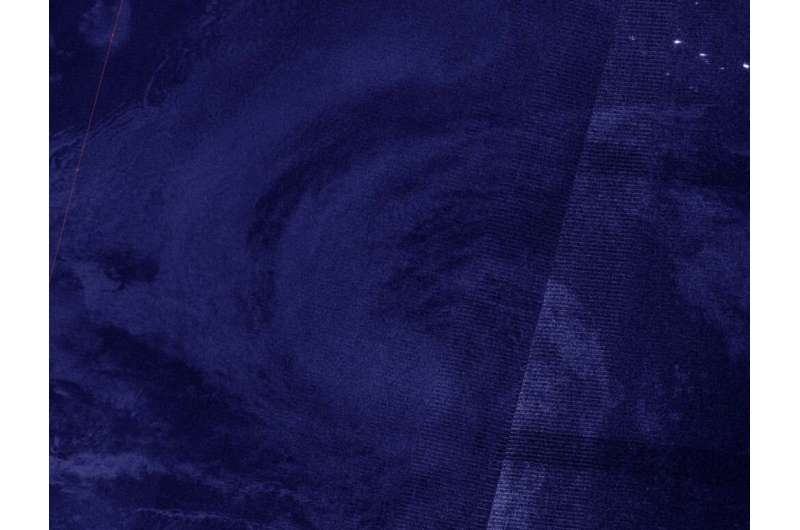
A NASA-NOAA nighttime view finds a slightly better organized tropical storm Karina

NASA-NOAA's Suomi NPP satellite provided an infrared look at Tropical Storm Karina in the Eastern Pacific Ocean that gave forecasters a nighttime view of the storm. It revealed a slightly more organized tropical storm.
NASA's nighttime view
On Sept. 15 at 6:50 a.m. EDT (3:50 a.m. PDT/1050 UTC), the Visible Infrared Imaging Radiometer Suite (VIIRS) instrument aboard Suomi NPP passed over the Eastern Pacific Ocean and captured an early morning image of Tropical Storm Karina. The image showed that Karina continued to become a little better organized with a concentrated area of deep convection near and over the estimated low-level center. The image was created using the NASA Worldview application at NASA's Goddard Space Flight Center in Greenbelt, Md.
By 11 a.m. EDT (8 a.m. PDT) on Sept. 15, Andrew Latto, Hurricane Specialist at NOAA's National Hurricane Center in Miami, Fla. noted in the storm's Discussion, "Karina has changed little in organization over the past several hours. [It has] a concentrated area of deep convection mostly over the southwestern portion of the circulation and over the estimated position of the low-level center."
Karina's status on Sept. 15
At 11 a.m. EDT (1500 UTC), the center of Tropical Storm Karina was located near latitude 20.4 degrees north and longitude 121.1 degrees west. That is about 740 miles (1,190 km) west of the southern tip of Baja California, Mexico.
Karina was moving toward the northwest near 10 mph (17 kph), and this motion is expected to continue for the next couple of days. A turn to the west and then toward the west-southwest is expected late this week. Maximum sustained winds were near 60 mph (95 kph) with higher gusts. Some weakening is forecast during the next 48 hours. The estimated minimum central pressure was 996 millibars.
Karina's forecast
"The cyclone is forecast to move over progressively cooler waters and into a drier, more stable atmosphere over the next couple of days. These conditions should induce a weakening trend soon, and the deep convection is expected to gradually wane during that time," Latto said in the Discussion.
Gradual weakening should begin by tonight, and Karina is forecast to become a remnant low in two or three days.
Provided by NASA's Goddard Space Flight Center


