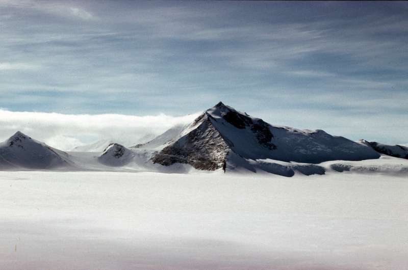
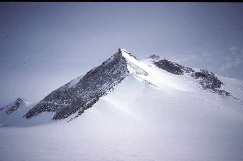
New satellite imagery reveals new highest Antarctic Peninsula Mountain

Cartographers surveying Antarctica have discovered Mt Hope is the tallest mountain in the British Antarctic Territory (BAT) at 3,239 m (10,654 ft) above sea level. Until now, maps showed Mt Jackson as the tallest mountain in the territory at 3,184 m (10,444 ft). New satellite data reveals this isn't the case, with Mt Hope being 55 m taller than Mt Jackson and 377 m higher than previously thought.
The discovery was made during work by British Antarctic Survey (BAS) to update planning maps for pilots operating in Antarctica. Previously, measurements from old overland surveys were used for mapping the region and the new high-resolution satellite measurements, accurate to within 5 metres, show there are several errors in these surveys.
Adrian Fox, Head of Mapping and Geographic Information at BAS says:
"This is an exciting discovery within the British Antarctic Territory. Modern satellite data highlights how inaccurate previous surveys and maps were for some parts of the region. As well as discovering Mt Hope is the highest mountain in the territory, we have identified several other interesting discoveries. These include new mountain heights, ranges in new locations by up to five kilometres and even some new peaks which hadn't been surveyed before.
Maps with reliable measurements of the highest peaks are an essential safety requirement for flight planning. Accurate elevation data from satellite imagery now allows us to produce these resources for Antarctica, where flying is difficult at the best of times."

Mt Hope is the highest mountain in the British Antarctic Territory, however, Mt Vinson remains the highest mountain in Antarctica standing at 4,892 m (16,050 ft).
Foreign Office Minister with responsibility for the Polar Regions Sir Alan Duncan says:
"The British Antarctic Territory is one of the most remote and unique British overseas territories and one of the most pristine landscapes on the globe. Our world-leading British scientists based there are carrying out vital research on climate change, the effects of which are most acutely felt in the polar regions. The discovery of Mount Hope as the UK's tallest peak is a great example of British science making big steps forward in mapping techniques to help us get a better understanding of this fascinating region."
Provided by British Antarctic Survey


