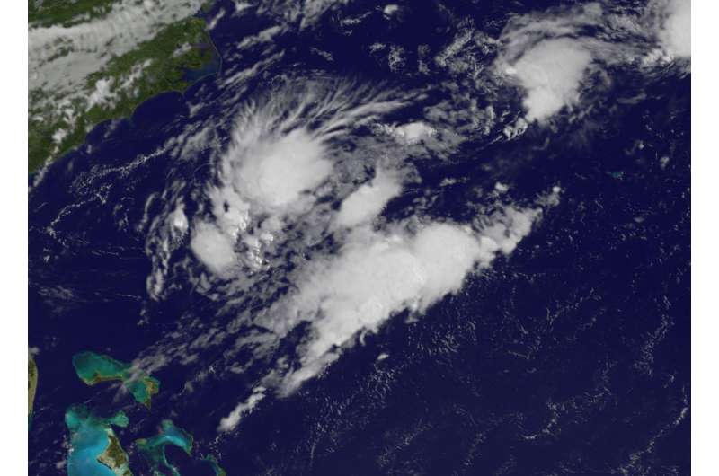
Remnant clouds of former Tropical Storm Emily over Atlantic

Former Tropical Storm Emily appeared as swirl of clouds on imagery from NOAA's GOES-East satellite on August 2.
At 11 p.m. EDT on August 1, the National Hurricane Center issued their final advisory on Post Tropical Cyclone Emily. At that time NHC said that the center of Emily had become exposed again and that the system had not produced any organized thunderstorms in the previous 24 hours. Emily had also become embedded within a frontal zone, and no analysis showed Emily with a warm core. As a result, Emily had lost the requisite characteristics of a tropical cyclone, and was declared post-tropical. At that time, Emily was located near 30.9 degrees north latitude and 78.0 degrees west longitude, about 235 miles northeast of Cape Canaveral, Florida.
At 8:30 a.m. EDT (1230 UTC) on August 2, NOAA's GOES-East satellite captured a visible image of Emily's remnant clouds far off the coast of South Carolina. NOAA manages the GOES series of satellites and the NASA/NOAA GOES Project creates images and animations from the data.
NHC expects dissipation of the low pressure area within two days as it opens up into an elongated area of low pressure or trough.
Provided by NASA's Goddard Space Flight Center


