Eye in the sky gives Arctic scientists new insight into ice loss

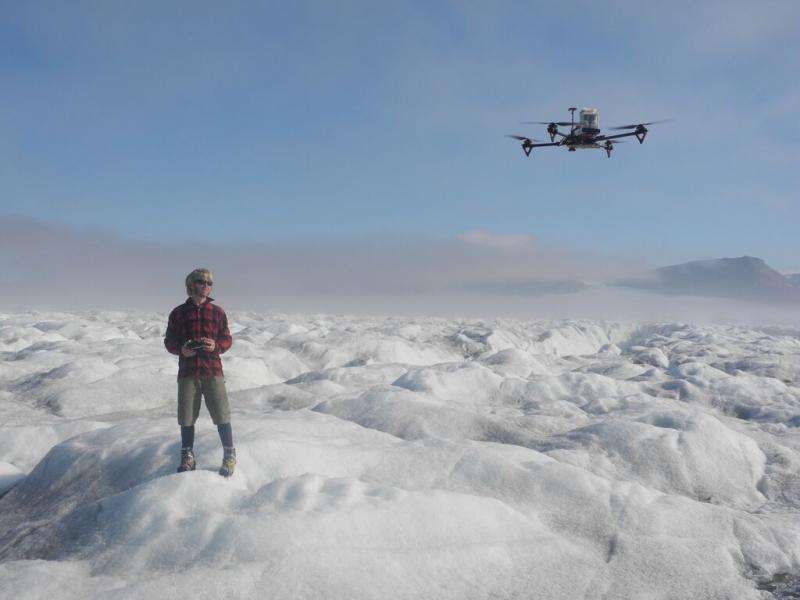
A custom-built Remotely Piloted Aircraft (RPA) has helped Scottish-based scientists survey one of the world's most dangerous terrains as they seek to discover causes of ice loss in the Arctic.
The RPA, a quadcopter, was built by Scottish Association for Marine Science (SAMS) engineer Shane Rodwell and used a mounted laser-range finder and a camera to measure and photograph glaciers in the polar region, collecting unique data for glacier experts Dr Nick Hulton of The University of Edinburgh and Professor Doug Benn of St Andrew's University.
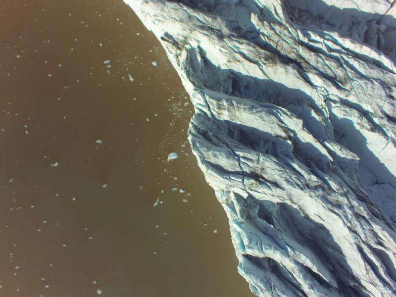
The detailed images will help provide a 3D image of glaciers for their investigation into glacier 'calving' – the term given to large sections of glaciers breaking off and falling into the sea – which is increasing with global warming.
Large crevasses open up in the glaciers as they break, so the terrain is unsafe to survey on foot and the previously accepted, but costly, alternative is a helicopter. Satellite imaging produces comparatively low resolution images.
The work, undertaken in the Svalbard archipelago, Norway, is the first time geoscience researchers have combined a laser-range finder with photogrammetry to measure the depth and size of crevasses in the glaciers.

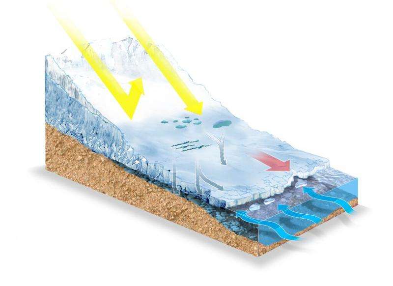
Dr Hulton explained: "The biggest increases to ice loss in the world's major ice sheets are happening not because of increased melting, but because of increased iceberg calving. Glaciologists worldwide are trying to better understand the main mechanisms involved in the calving process and how it might accelerate if the climate continues to warm.
"Warmer ocean temperatures have an effect because they lead to more melting at the edge of the ice and this can destabilise and break-up the ice margins.
"Measuring crevasses is a fiendishly difficult problem as often researchers are unable to get close enough to measure them and, if they do, the shape and size of the crevasses makes mapping them incredibly difficult.
"I know people who have done this with a ball of string while tied on in precarious locations. The crevasses you often particularly want to measure – the big ones – are more or less totally inaccessible."
The mounted laser-range finder allowed SAMS engineer Shane Rodwell to photograph and measure the depth of every crevasse. On each of the 15 – 20-minute missions, the camera took 1,000 images and after 10 missions the team had enough still images to map the glacier in a 3D model.

Mr Rodwell said: "The quadcopter has given us a viewpoint we didn't have before, so it will be really interesting to see what conclusions can be drawn from the new data.
"It is exciting to be involved in a project such as this, using technology to help us cover hard-to-reach places and producing great results. The terrain there is as tough as it gets."
The scientists will now build up 3D virtual models of the glaciers using a technique called Structure From Motion (SFM). This works by taking the photographs of features from multiple different angles to create the shape of a feature.
Once all the data is processed researchers hope to summarise whether the spacing and size of the crevasses match the predicted rate of change. This will enhance predictions on how crevasses form and the role they have in iceberg calving.
Provided by Scottish Association for Marine Science (SAMS)


