Water in the Netherlands–past, present, and future
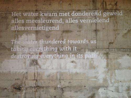
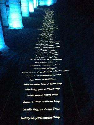
The storm in the Netherlands began on a Saturday afternoon in February 1953. Ria Geluk, who was 6 years old, told me that it peaked during the night when nationwide communications were on their nightly pause. The radio broadcast turned off at midnight, and by the time it resumed at 8 a.m. the next morning dykes had broken in 80 places and entire neighborhoods had gone immediately under water.
Still unknowing families, whose homes had not flooded, dressed for church and left as they would on any other Sunday. But when they walked to the opposite side of the dyke surrounding their homes, many found their neighbors' houses filled with water from the North Sea, Geluk said. To make matters worse, this particular Sunday was very windy and planes could not be used for evacuations. Twelve hours later the tide came in again and the "second flood" commenced.
Seventy thousand people were eventually evacuated, and 1,835 people died. Geluk and her family were not able to return to their home for three years.
When the storm swept through, Europe was still recovering from World War II, and there was little effort dedicated to memorializing the flood. Not until 40 years later did people start to publicly reflect on the experience. In 2001, Geluk founded the Watersnoodmuseum, which tells the story of this catastrophic night in Dutch history.
I visited the museum as part of the Florida Earth Foundation's US-Netherlands Connection Project. According to its website, the project "takes delegations of professionals to the Netherlands to explore Dutch expertise in water infrastructure and management, especially as it relates to sea-level rise adaptation and resilience."
Before the 1953 storm, the Netherlands already had a long history—according to many, 200,000 years—of managing water and the threat of flooding. With two thirds of the country below sea level, water management is critical. If left unmanaged, 75 percent of Holland would be under water within three months. Over five days, my USNC delegation learned about the many initiatives that keep the country above water.
The Port and Sand Engine
Our visit to Rotterdam's port was a highlight. As Europe's most important port, it is among the 10 largest in the world, the only one in the West, and one of only two outside China. As the storm of 1953 showed, the Netherlands must work hard to keep its country afloat. And when it wants to expand its landmass, it needs to build it. This is what happened back in the '60s when the Rotterdam port was first built. The Dutch dredged sand offshore, deposited it along the coast, and then protected it with dykes. The original project was called Massvlakte, and in 2008, construction of Maasvlakte 2 began and is nearly complete.
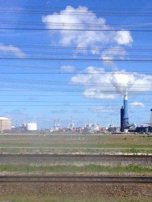
Our entryway to Maasvlakte was through the Futureland Information Center. The name intrigued me when I read it on our itinerary, and it scared me as we approached in our bus. It was described as "the information centre for the new port and industrial zone reclaimed from the North Sea." Industrial zone was an understatement. There are no trees and very little grass. Man-made structures dominate the landscape and paint a grim image for the future.
There are, however, efforts being made to "build with nature," a phrase we heard throughout our visit. Land that is 12 times the size of the land sacrificed for the port has been put aside, along with a commitment to improve the ecology in this area. There are also cycling paths, which, in combination with the information center, and the other museums on-site, encourage people to visit and learn about the importance of Maasvlakte. This accessibility is nice. Still, I would have liked to see trees, or at least more grass, and less industrial conquest, in a place called Futureland.
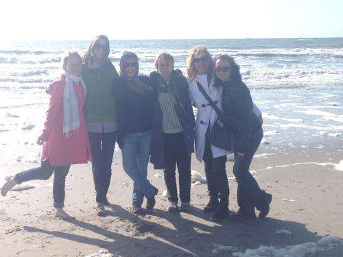
Afterward, we made a final stop for the day at a beach along the North Sea, which is the site of the Sand Engine. This project dredged sand from offshore, deposited it near the coast, and then handed the work over to the water to redistribute as one so chooses. Much of the sand washes onto the shoreline, creating new dunes. From my view, it just looked like a beach, and on this day, the beach was covered in sea foam.
The Canals
If the Maasvalkte I and II projects are the punctuation of the Netherlands' storied history of water management, the canals are the eloquent sentences weaving through it. I had heard about Holland's tulips, windmills, and wooden shoes. I had heard about Amsterdam's bikes and legalized marijuana. Never, however, had I heard about its canals.
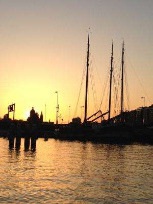
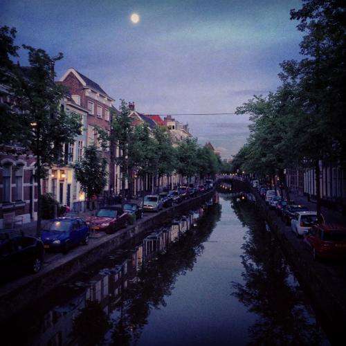
They were in Delft, in The Hague, in Amsterdam, and I'm sure other Dutch cities, and they are lovely. In Delft, where we stayed for the week, restaurants line the canals and outdoor dining is the norm, not a novelty. Bike and walking lanes connect the canals, and in Amsterdam, people float through on their boats, dock on the side and call it home.
After I returned from my trip, I heard a WGBH report discussing canals as a solution for managing water in Boston. As Julie Wormser, executive director of the Boston Harbor Association said, "Boston is going to have to change, but it doesn't have to be worse. … What if there were side streets in Boston that could become canals to keep the other streets dry for longer?"
In the Netherlands, the phrase "Let Op" translates to "Pay Attention." With all of the bikes, pedestrians, and cars buzzing around and coexisting, it is posted in many places and heard often. To Bostonians wondering what our future holds: Let op! We just may have canals one day.
These are the kinds of solutions—ones that benefit both natural and human systems—that the Urban Coastal Sustainability Initiative at Northeastern prioritizes. Similar to the Dutch approach of including many stakeholders in the discussion, UCSI bridges science with policy, and research with implementation and outreach. Specifically, INSHORE (International Network for the Study of Rocky Intertidal Ecosystems), a group co-founded by our lab group, connects and collaborates globally with sustainability researchers in other coastal cities. This trip built new connections in Florida, Louisiana, New York City, the West Coast and of course, in the Netherlands.
Provided by Northeastern University


