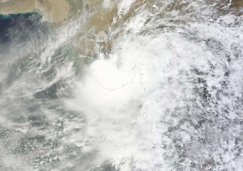
NASA's Aqua Satellite sees Tropical Depression Kujira at landfall

Tropical Depression Kujira made landfall in northeastern Vietnam early on June 24 as NASA's Aqua satellite passed overhead.
The Joint Typhoon Warning Center (JTWC) noted that Tropical Depression Kujira was about 46 nautical miles southeast of Hanoi, Vietnam by 0300 UTC on June 24 (11 p.m. EDT on June 23). The center of circulation was near 20.4 North latitude and 106.4 East longitude. It was moving to the west-northwest at 5 knots (5.7 mph/9.2 kph) and maximum sustained winds had weakened to 30 knots (34.5 mph/55.5 kph).
Early on June 24, the MODIS (Moderate Resolution Imaging Spectroradiometer) instrument aboard NASA's Aqua satellite captured a visible image of Tropical Depression Kujira over Vietnam, Laos and Thailand.
Forecasters at the JTWC expect Kujira to dissipate later in the day on June 24.
Provided by NASA's Goddard Space Flight Center


