This article has been reviewed according to Science X's editorial process and policies. Editors have highlighted the following attributes while ensuring the content's credibility:
fact-checked
trusted source
proofread
Study combines drones with GPS tracking to survey feral pig abundance and density

A Charles Darwin University (CDU) study has identified early evening, or a wet season morning, as the prime time for surveying feral pigs from sky-high drones, which could help land rangers to improve management of the stealthy and invasive animals.
The study combined aerial drone surveying with GPS tracking to account for variations between the data, evaluating the time and environmental factors influencing detection and population estimates. The paper titled "Supplementing aerial drone surveys with biotelemetry data validates wildlife detection probabilities' was published in Frontiers in Conservation Science.
CDU North Australian Center for Autonomous Systems (NACAS) Director, Professor Hamish Campbell said drones are a great tool for monitoring wildlife but they have their own limitations, so studies like this can help get the best conservation outcomes.
"Aerial drone systems are now widely used to survey wildlife, but validation in the detectability of individuals is rarely assessed," Professor Campbell said.
"Monitoring is a critical part of the success of any management program and data from studies like this ensure that we are creating robust and cost-effective programs."
The researchers released wild-caught feral pigs into a large natural habitat enclosure in northern Australia.
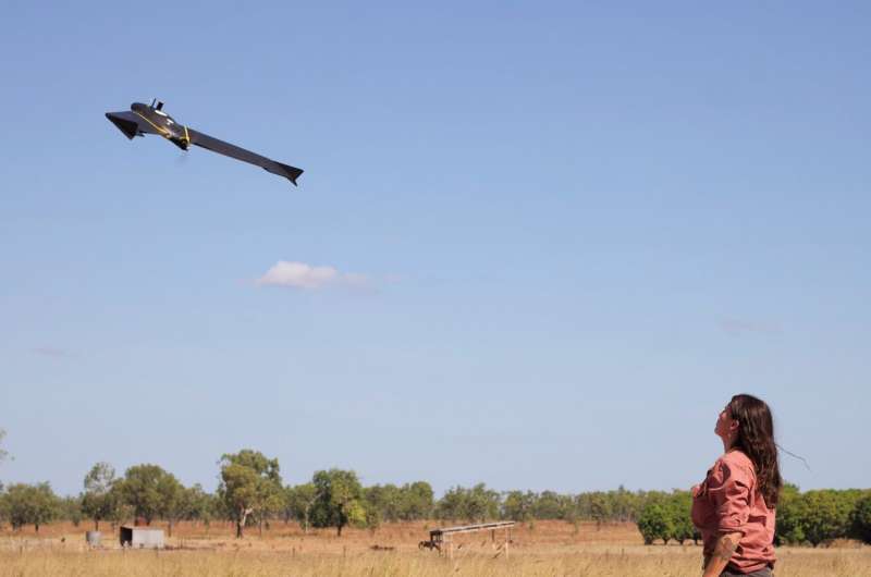
Using a fixed-wing drone equipped with dual thermal infrared and visible imaging sensor cameras, the team conducted multiple flights over the study area during both wet and dry seasons, from sunrise to sunset.
Detection probability was at its lowest during mid-afternoon, while the early evening had the highest detection probability of 50 to 75%.
CDU Ph.D. candidate Aliesha Hvala said the study found that the probability that a pig was visible in aerial imagery was highly variable. "We observed seasonal differences, with detection probabilities exceeding 50 percent in the mornings of the wet season, in contrast to less than 30% during the dry season," Ms Hvala said.
"GPS location data also enabled us to assess how canopy cover, land cover, and ambient temperature altered animal detection probability."
NACAS researcher Dr. Rebecca Rogers said the findings could help enhance the accuracy of population assessments and contribute to more effective wildlife management and conservation.
"Resources are often limited for wildlife management, so being able to target monitoring efforts will lead to better conservation outcomes," Professor Rogers said.
More information: Aliesha Hvala et al, Supplementing aerial drone surveys with biotelemetry data validates wildlife detection probabilities, Frontiers in Conservation Science (2023). DOI: 10.3389/fcosc.2023.1203736
Provided by Charles Darwin University


