CryoSat reveals surprising ebb and flow of subglacial lakes

Hidden from view by ice kilometers thick, there is a vast network of lakes and streams at the base of the Antarctic ice sheet. This subsurface meltwater affects the speed with which the ice sheet flows towards the ocean. Using a decade of altimetry data from ESA's CryoSat satellite, scientists have made an unexpected discovery about how lakes beneath Thwaites glacier have drained and recharged in quick succession.
Meltwater at the underbelly of the ice is not only a result of frictional heating as the ice flows over the bedrock, but also from heat, called geothermal heat, coming from below the bedrock. Measures of geothermal heat flux in Antarctica are particularly difficult to obtain, and there are large differences between the various current estimates.
Meltwater under the ice can therefore indicate the state of the bedrock and the degree of geothermal flux. This is important because they both affect the speed the ice flows and drains into the ocean.
When this basal melt water reaches the ocean it forms buoyant meltwater plumes, which drive an under-ice circulation that brings warm deep ocean water into contact with the ice and causing the ice to melt even more.
Although this subglacial network is hidden from view by kilometers-thick ice, the movement of meltwater deep below causes tiny movements on the surface of the ice, which, remarkably, can be detected and monitored from space.
A paper published recently in Geophysical Research Letters describes how a decade of radar altimetry observation have been used to reveal a network of four subglacial lakes, under the Thwaites glacier.
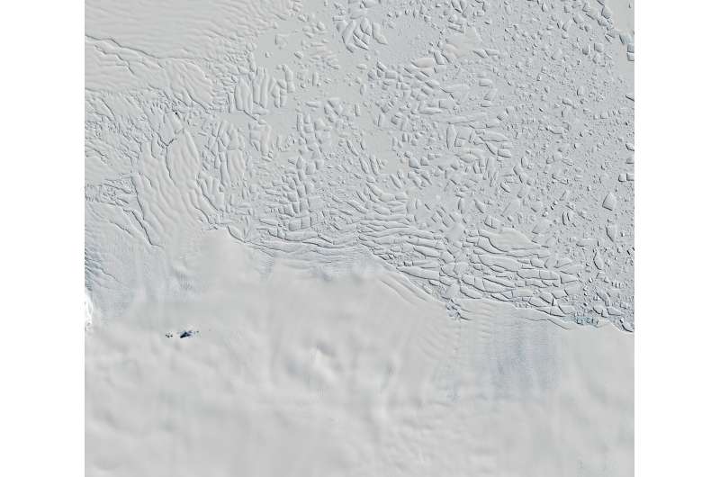
At around 120 km wide, Thwaites is the largest glacier on Earth and one of the most fragile glaciers in Antarctica. It is, therefore, the subject of much international research through the UK National Environment Research Council NERC/US National Science Foundation (NSF) International Thwaites Glacier Collaboration and ESA's 4-D Antarctica project.
ESA's Diego Fernandez, head of the Earth Observation Science Section and overseeing the 4-D Antarctica project, said, "The project draws together several years of research from different teams to form a new comprehensive assessment of Antarctic ice-sheet hydrological processes—from the lithosphere and subglacial environment to surface-melting process.
"This will certainly contribute to establishing a robust scientific base on which to develop a Digital Twin of Antarctica in the future."
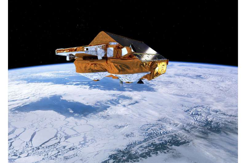
Using more than 10 years' worth of altimetry data from ESA's CryoSat satellite, scientists have discovered that the lakes beneath Thwaites, the largest of which is over 40 km long, drained in quick succession, in 2013 and then in 2017.
This kind of reoccurring drainage under Thwaites has never before been recorded.
Scientists estimate that the rate of drainage peaked at about 500 cubic meters a second—possibly the largest outflow of meltwater ever reported from subglacial lakes in this region.

This peak rate is about eight times faster than the River Thames in England discharges on average to the North Sea.
George Malczyk, lead author from the University of Edinburgh in the UK, said, "We used CryoSat to show a period of lake activity only four years after the previous drainage event in 2013.
"But what is interesting about this second drainage event is how different it is from the first, with a faster transfer of water and increased water discharge. Our observations highlight that there were potentially significant modifications to the subglacial system between these two events."
Between 2013 and 2017, the scientists can see that the lakes recharged.
Linking these observations with basal meltwater flowing into the lake through a network of basal channels, gave for the first time, an estimate of the rate of melting at the base of the ice sheet. By comparing these rates to modeled estimates, the scientists were able to demonstrate that models underestimate basal melting under this region of Thwaites by nearly 150%.
These findings will help to assess and constrain models and, in turn, improve the representation of the ice sheet system, and better project its evolution.

Noel Gourmelen, also from the University of Edinburgh, said, "What takes place under the ice sheet is critical to how it responds to changes in the atmosphere and ocean around Antarctica, and yet it is hidden from view by kilometers of ice which makes it very difficult to observe.
"This movement of water give us a glimpse of where the water is and how much and how fast it moves across the system. Together this is key information about the nature of the subglacial environment and the processes of the hydrological network under the ice sheet. These findings provide key information that can help us project how the ice sheet adds to sea level as it responds to climate change.
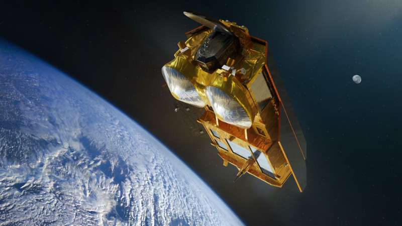
"Being able to monitor these remote regions from space over long periods of time is extremely important. As such, the planned CRISTAL mission, which is part of the expansion of Europe's Copernicus program, will be crucial. It will ensure continuity and expansion of the current capabilities to study the entire ice sheet from space."
Dr. Fernandez added, "With this activity we want to contribute to the scientific efforts undertaken by the NERC/NSF International Thwaites Glacier Collaboration and by the EU Polar Cluster, to better understand and predict the dramatic changes affecting the polar regions. It is only through scientific collaboration, both within Europe and internationally, that we will be able to collectively address the major scientific and societal challenges we all face."
More information: G. Malczyk et al. Repeat Subglacial Lake Drainage and Filling Beneath Thwaites Glacier, Geophysical Research Letters (2020). DOI: 10.1029/2020GL089658
Journal information: Geophysical Research Letters
Provided by European Space Agency


