NASA prepares for new science flights above coastal Louisiana

As sea levels rise, some areas of the Mississippi Delta are drowning while others are actually gaining mass. NASA's Delta-X heads to the region to figure out why.
Delta-X, a new NASA airborne investigation, is preparing to embark on its first field campaign in the Mississippi River Delta in coastal Louisiana. Beginning in April, the Delta-X science team, led by Principal Investigator Marc Simard of NASA's Jet Propulsion Laboratory in Pasadena, California, will be collecting data by air and by boat to better understand why some parts of the delta are disappearing due to sea-level rise while other parts are not.
"Millions of people live on, and live from services provided by, coastal deltas like the Mississippi River Delta. But sea-level rise is causing many major deltas to lose land or disappear altogether, taking those services with them," Simard said. "We hope to be able to predict where and why some parts of the region will disappear and some are likely to survive."
Deltas typically form where large rivers enter the ocean or other bodies of water. As a river flows downstream, it carries with it sediment—small particles of silt, gravel and clay. By the time the river meets the other body of water, it is moving more slowly, allowing the sediment to sink to the bottom and accumulate to form a landmass, or delta.
Deltas protect inland areas from wind and flooding during storms, they serve as a first line of defense against sea-level rise, and they are home to many species of plants and wildlife. The Mississippi River Delta, one of the world's largest, also helps to drive local and national economies via the shipping, fishing and tourism industries. But it is quickly losing land area: Over the last 80 years, the delta has shrunk by some 5,000 square miles (2,000 square kilometers) - roughly an area the size of the state of Delaware.
When deltas don't accumulate sediment fast enough to offset sea-level rise and ground sinking—a result of extracting subterranean water, petroleum and natural gas—they essentially drown.
Enter Delta-X.
Over the course of two field campaigns, one in April and one in the fall, the Delta-X science team will investigate how and why sediment accumulates in some areas and not in others. They'll also work to determine what areas are most susceptible to disappearing beneath rising seas. Specifically, they'll focus on two key locations: the Atchafalaya Basin and northwest of Terrebonne Bay, which have gained and lost land, respectively.
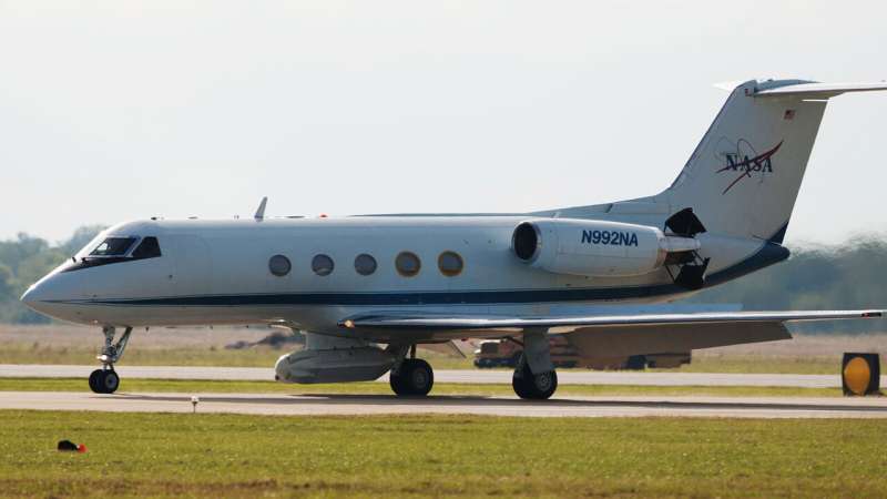
During both campaigns, the science team will fly over the region simultaneously in three aircraft, each equipped with specialized remote-sensing instruments. They'll measure how much water flows through the river's channels and how much of it overflows to the wetlands. They'll also detect the amount of sediment in the water and how much of it gets deposited to build land.
The team will fly four times for each campaign, collecting data at both high and low tides to better understand how the tides impact the exchange of water and sediment between river channels and wetlands. In addition, they will collect water samples and measurements by boat.
After processing the data, which is expected to take about nine months, the science team will use it to provide detailed models of the delta region and how it works.
"These models will empower local communities and resource managers with the information and prediction capabilities they need to make the necessary decisions to save and restore the delta," said Simard.
But for now, with just over a month to go, Simard and the Delta-X team are hard at work poring over spreadsheets, tide tables and logistics.
"Right now, we're determining exactly where and when the aircraft will fly, coordinating field teams to be deployed on boats and making sure everything is in order for a successful campaign," Simard said.
More information: More information on Delta-X can be found here: deltax.jpl.nasa.gov/
Provided by NASA


