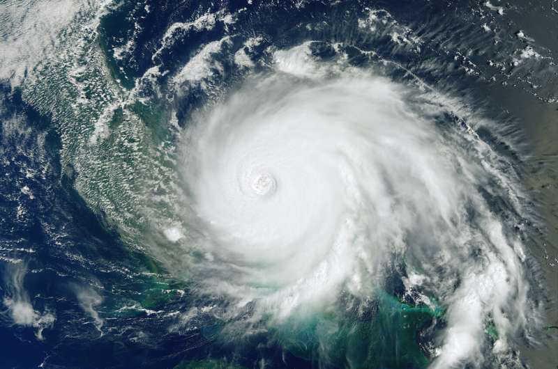
Image: Dorian brings destruction

This Copernicus Sentinel-3 image features Hurricane Dorian as it pummels the Bahamas on 2 September 2019 at 15:16 GMT (11:16 EDT). This mighty storm has been parked over the northwest Bahamas for more than 24 hours unleashing a siege of devastation. Storm surges, wind and rain have claimed at least five lives and destroyed homes and infrastructure.
Dorian is reported to be one of the most powerful Atlantic hurricanes on record. Residents in Florida, US, are also starting to feel the effects of Dorian, though its path is difficult to predict as it creeps slowly over the Bahamas.
However, the US National Hurricane Center expect life-threatening storm surges along Florida's east coast and along the coasts of Georgia and South Carolina. As the US authorities respond to the devastation, Europe's Copernicus Emergency Mapping Service has been activated to provide flood maps based on satellite data.
Provided by European Space Agency


