Image: African land cover
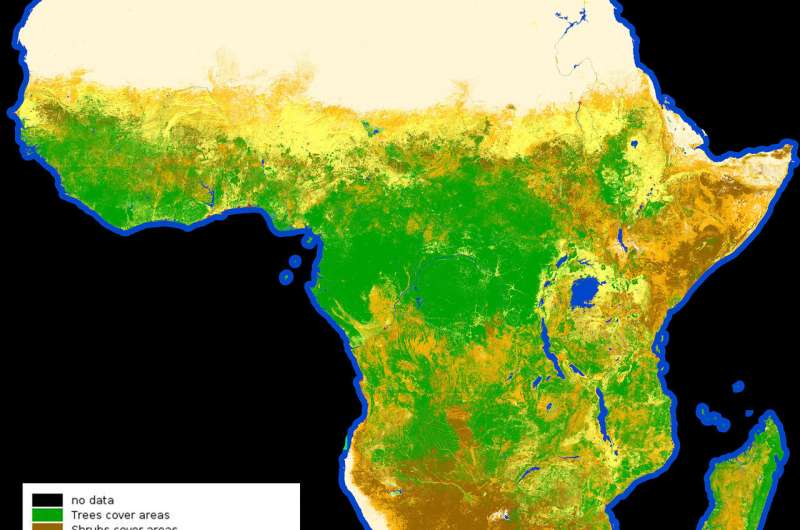
Image: African land cover
Credit: contains modified Copernicus Sentinel data (2015-2016), processed by Land Cover CCI, ESA

At 20 m resolution, this land cover classification map of Africa was created using 180 000 Copernicus Sentinel-2A images captured between December 2015 and December 2016.

Land-cover mapping breaks down the different types of material on Earth's surface.

This information is important for understanding changes in land use, modelling climate change extent and impacts, conserving and managing natural resources.

Citation: Image: African land cover (2017, October 4) retrieved 29 June 2024 from https://phys.org/news/2017-10-image-african.html
This document is subject to copyright. Apart from any fair dealing for the purpose of private study or research, no part may be reproduced without the written permission. The content is provided for information purposes only.

Explore further

Image: African mosaic from Copernicus Sentinel data

3 shares

Feedback to editors