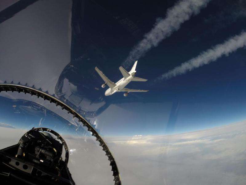
Image: View of NASA's CYGNSS hurricane mission launch from chase plane

Hurricane forecasters will soon have a new tool to better understand and forecast storm intensity. A constellation of eight microsatellites, called NASA's Cyclone Global Navigation Satellite System mission, or CYGNSS, got a boost into Earth orbit at 8:37 a.m. EST today, Dec. 15, 2016, aboard an Orbital ATK Pegasus XL rocket.
The unique, air-launched vehicle was carried aloft by Orbital's modified L-1011 aircraft, "Stargazer," which took off from the Skid Strip runway at Cape Canaveral Air Force Station in Florida and deployed the three-stage Pegasus XL rocket at a predetermined drop point 39,000 feet above the Atlantic Ocean and about 110 nautical miles east-northeast of Daytona Beach.
NASA's F-18 support aircraft was used to provide live coverage of the Orbital ATK L-1011 air-launch of its Pegasus XL rocket carrying CYGNSS. This photo was taken by Armstrong videographer, Lori Losey, as the AFRC F-18 chased Orbital's L-1011 carrier aircraft.
Provided by NASA


