What can satellite data do for aquaculture?

"We're shut because of a harmful algal bloom in the waters at the moment. Being shut costs us £25-30,000 a week, and last year we were shut for four months."
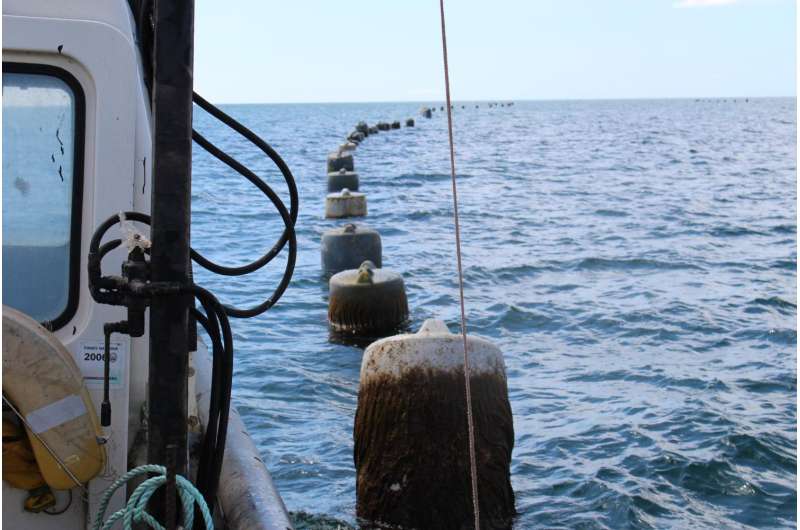
Gary Rawle, a shellfish farmer based around St. Austell, Cornwall, provides quality mussels by the tonne for the seafood industry – supplying many restaurants all over the UK.
However, shellfish businesses like Gary's are threatened by toxins released from harmful algal blooms – naturally occurring colonies of phytoplankton that prevent the shellfish being harvested – creating toxic effects on livelihoods, consumers and the economy.
BBSRC and NERC joined forces to fund the ShellEye project to help shellfish farmers manage the damaging effects from harmful algal blooms. The ShellEye project is a multi-partner effort that includes industry, government and scientists from Plymouth Marine Laboratory (PML), the University of Exeter, the Centre for Environment Fisheries and Aquaculture Science, and the Scottish Association for Marine Science (SAMS).
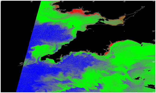
The ShellEye project plans to implement a forecasting system that uses satellite imagery to track harmful algal blooms and help fishermen avoid the worst outbreaks. Currently, various methods are in pilot format which include emails with images, text messages, maps on a web portal and a traffic light system. The ultimate goal for ShellEye is to protect public health, reduce food waste and contribute to the resilience of the UK food system and bioeconomy.

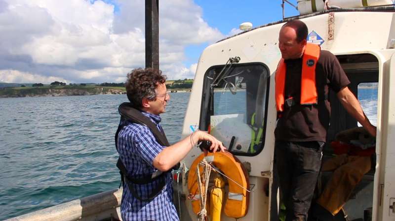
Dr Peter Miller of PML steers ShellEye and is excited by the potential of satellite data to track harmful algal blooms in real-time, and how the data can be analysed, simplified and sent to fishermen in the area.
"We can use very detailed satellite images of the ocean colour to pick out certain algal species that form dense blooms, allowing us to differentiate between the harmful and harmless algae," Miller explains.
Miller's confidence comes from a previous project in Scotland with SAMS that helped Scottish salmon farms manage their risks from harmful algal blooms.
Shellfish farmers are keen to have an early warning system in place to make informed decisions on how to manage harvesting operations. To put it simply, Gary Rawle believes "it's the future."
The ShellEye project is one of 21 research projects announced in 2015 (together utilising £5M support from BBSRC and NERC) to improve understanding of the factors affecting sustainable aquaculture, and help build a multidisciplinary community. Register to receive email updates: www.shelleye.org/contact

Why shellfish aquaculture can help to provide sustainable food security:
- The entire UK aquaculture industry contributes £600M to the UK bioeconomy
- Global shellfish consumption is increasing by around 5% per year
- In 2014 the consumption of fish from aquaculture exceeded that from wild-caught fish for the first time.
- The share of aquaculture in total fishery production will grow from 44% on average in 2013–15 to surpass capture fisheries in 2021.
- There is evidence that Neanderthals cooked shellfish in Italy about 110,000 years ago.
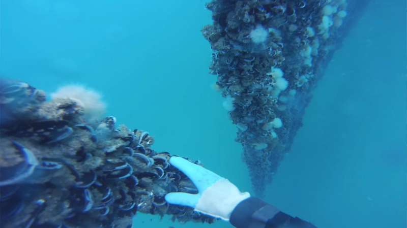
- Mussels feed entirely on plankton by filtering more than 65 litres of water a day.
- Various projections to 2020 suggest that per capita consumption of fish and shellfish is expected to rise from the high of 20kg in 2014.
- In the UK the government forecasts a 33% increase in domestic shellfish production by 2020.
- Production of aquatic animals from aquaculture in 2014 amounted to 73.8M tonnes with an estimated first-sale value of US$160.2Bn.


