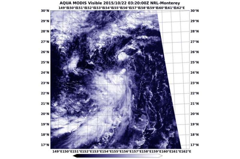
NASA sees the 26th Northwestern Pacific Tropical Depression form

It has been a busy season in the Northwestern Pacific Ocean, tropically speaking. The twenty-sixth tropical depression of the western North Pacific Ocean hurricane season formed and NASA's Aqua satellite saw it come together.
At 03:20 UTC on October 22, 2015 (11:20 p.m. EDT, Oct. 21), NASA's Aqua satellite passed over newborn Tropical Depression 26W. The Moderate Resolution Imaging Spectroradiometer that flies aboard Aqua captured visible image of the storm.
At 1500 UTC (11 a.m. EDT) on October 22, Tropical depression 26W's maximum sustained winds were near 25 knots (28.7 mph/46.3 kph). It was centered near 27.0 degrees north latitude and 156.0 degrees east latitude, about 745 nautical miles northwest of Wake Island. 26W was moving to the north-northeast at a speedy 20 knots (23.0 mph/37.0 kph).
26W is forecast to turn to the northeast and continue over open waters. The system will not strengthen much before transitioning to an extra-tropical system on October 23.
Provided by NASA's Goddard Space Flight Center


