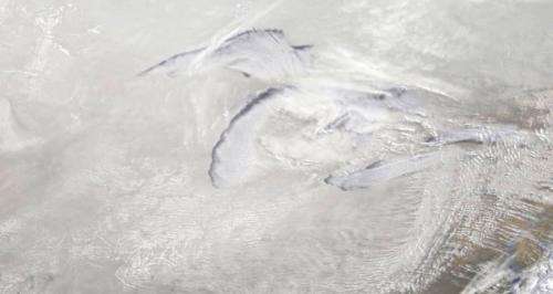
Image: Satellite sees a Midwest white out

NOAA's GOES-East satellite captured a Midwestern wintertime "White Out" at 2015 UTC/3:15 p.m. EST on January 6, 2014.
Blowing snow and intensely cold air created dangerous white-out conditions over the Midwest, particularly around the Great Lakes, where daytime temperatures averaged -20F with a wind chill near -50F.
The GOES-East satellite is managed by NOAA. The image was created at NASA's GOES Project at NASA's Goddard Space Flight Center, Greenbelt, Md.
Provided by NASA


