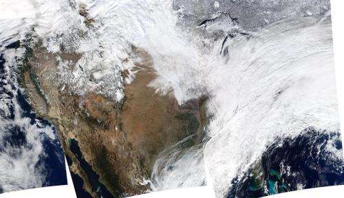
Image: NASA's Aqua sees massive winter storm

On January 2, 2014, NASA's Aqua satellite passed over the United States multiple times, allowing the Moderate Resolution Imaging Spectroradiometer (MODIS) on board to capture this true-color image of a massive winter storm moving up the eastern seaboard.
Another image taken the same day by the GOES-13 satellite shows moist air from the Gulf of Mexico and cold air from Canada moving across the U.S.
Very cold temperatures and dangerous wind chills are moving in behind the system. The next storm is forming, and will bring blizzard conditions to the northern Plains Friday Night into Saturday. Extreme wind chills to -55 F are possible in the northern Plains this weekend.
Provided by NASA


