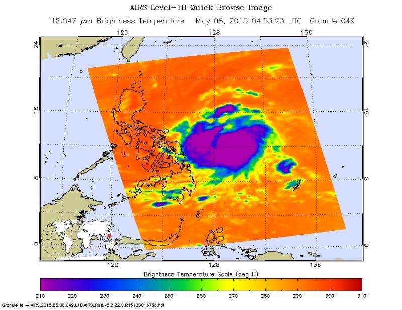
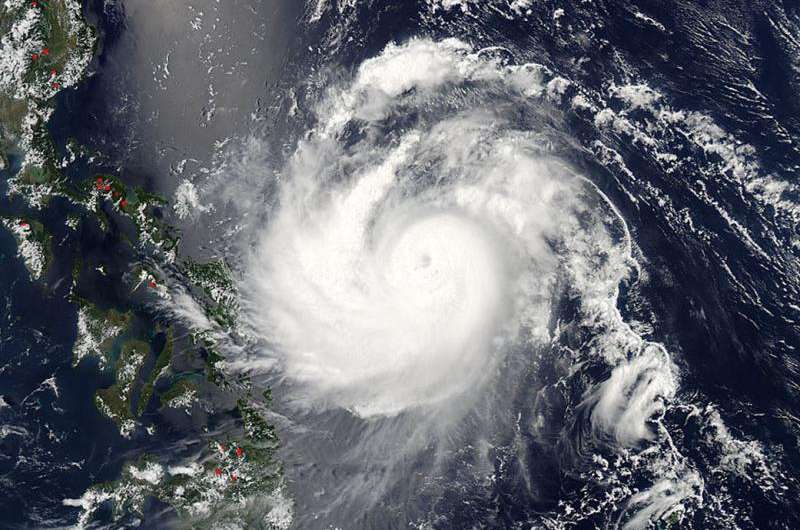
Noul's impending landfall raises warning #2 in Luzon

The Philippines warning center has raised a #2 warning for its citizens in the Luzon province of Catanduanes. This warning indicates, among other things, that the tropical cyclone will affect the locality and that winds of greater than 100 kph up to 185 kph (62 to 114 mph) may be expected in at least 18 hours.
Philippines know the storm as Dodong and have also raised warning #1 for the areas of Luzon provinces of Sorsogon. Albay, Camarines Norte, Camarines Sur, Quezon, Polillo Island, Aurora, Quirino, Isabela and the Visayas provinces of Northern and Eastern Samar.
Warning #1 indicates, among other things, that the cyclone will affect the locality with winds of 30-60 kph (18 - 37 mph) may be expected in at least 36 hours or intermittent rains may be expected within 36 hours.
Currently Noul is located 486 miles east southwest of Manila but is moving west northwest at 11 knots. Its maximum sustained winds at this point are 100 knots gusting to 125 (62 to 77 mph). Maximum significant wave height is 37 feet.
The storm will steadily intensify to 120 knots (74 mph) over the next day or so, before making landfall in Luzon. The system is predicted to curve northeast during its passage over Luzon and will undergo extra-tropical transitioning.

The image at the top is a MODIS image of Noul taken by the Aqua satellite on May 08, 2015 at 04:55 UTC. Credit for this image is: NASA Goddard MODIS Rapid Response Team
Provided by NASA's Goddard Space Flight Center


