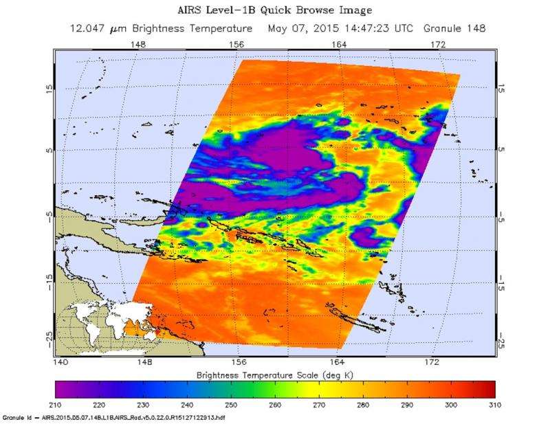
Tropical Depression 07W starting to get organized

System 93W became Tropical Depression 07W on May 06, 2015 and the Joint Typhoon Warning Center has already issued four warnings on the storm. Currently the storm is 254 miles southeast of Pohnpei part of the Federated States of Micronesia.
TD07W is very slowly moving east southeast at 5 knots (5.7 mph). The sustained winds are currently 30 knots gusting to 40 per hour (34 to 46 mph). Maximum wave height is 10 feet.
07W is veering round to a northwesterly course. The system is predicted to intensify to typhoon strength (nearly 100 knots) in approximately 5 days. At this time, a tropical storm watch is in force for Kosrae, Pingelap, Mokil and Sapwuafik (Ngatik) in Pohnpei State. Residents of Pohnpei and Pakin in Pohnpei State, Fananu in Chuuk State and the marianas should monitor 07W carefully.
Provided by NASA's Goddard Space Flight Center


