NASA sees Hurricane Edouard far from US, but creating rough surf

Although NASA's Aqua satellite showed that Hurricane Edouard is far from U.S. soil, it is powerful enough that it is creating dangerous swells along the U.S. East Coast.
On Sept. 17, the National Hurricane Center noted "Swells from Edouard will affect portions of the east coast of the United States north of Florida beginning today. These swells will likely cause life-threatening rip current conditions along most of the United States east coast for the next couple of days."
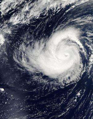
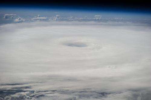
When NASA's Aqua satellite passed over Hurricane Edouard on Sept. 16 the MODIS instrument captured a visible image of the storm that it still maintained its eye. Bands of powerful thunderstorms were spinning into the center from the north and south.
At 11 a.m. EDT on Sept. 17, Edouard's maximum sustained winds were near 90 mph (150 kph) and weakening is forecast. The eye of Hurricane Edouard was located near latitude 36.4 north and longitude 53.3 west. Edouard is moving toward the northeast near 24 mph (39 kph) and turn east on Sept. 18. The latest minimum central pressure reported by a NOAA Hurricane Hunter aircraft is 958 millibars.
The National Hurricane Center expects rapid weakening on Sept. 18 with Edouard dropping in intensity to a tropical storm.

Provided by NASA's Goddard Space Flight Center


