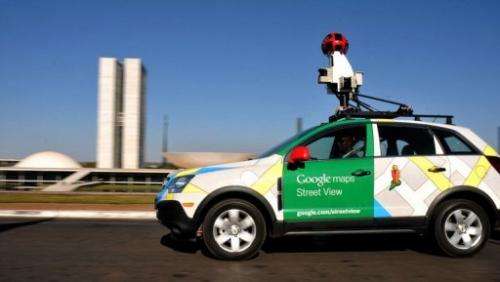
Second African nation gets Google street view

Botswana on Monday became the second African country to be featured on Google Maps' Street View, allowing users to explore landmarks such as the Okavango Delta.
"Whether you are planning a safari, doing a homework assignment on Botswana, or promoting your local business, Street View will allow you to experience a slice of the country," said Ory Okolloh, policy manager for Google Sub-Saharan Africa.
Users will now be able to virtually explore the Okavango Delta as well as the Kalahari desert and Chobe National Park—home to the largest concentration of African elephants in the world.
Street View is already available in more than 30 countries around the world. "We hope to add more cultures, landscapes and sites as Street View continues to expand to new places," Okolloh said.
Street View was first launched on the African continent in Botswana's neighbour South Africa, just ahead of the 2010 FIFA World Cup.
(c) 2012 AFP


