This article has been reviewed according to Science X's editorial process and policies. Editors have highlighted the following attributes while ensuring the content's credibility:
fact-checked
peer-reviewed publication
trusted source
proofread
Prehistoric Irish monuments may have been pathways for the dead

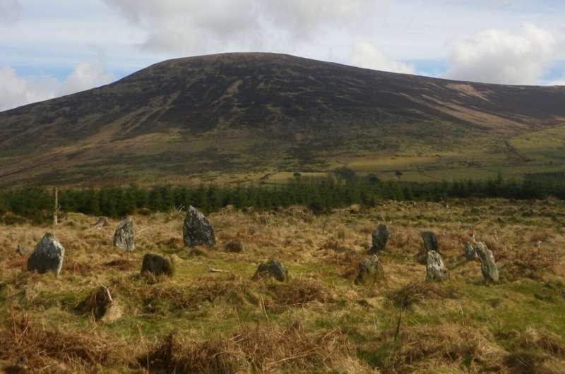
Archaeologists have used advanced lidar technology to discover hundreds of monuments in the famous prehistoric landscape of Baltinglass, Ireland, revealing insights into the ritual activities of the farming communities that occupied the area.
Baltinglass is famous for its Early Neolithic and Late Bronze Age monuments. However, evidence for occupation and activity between these periods was almost non-existent.
As such, it was thought that the area could have been abandoned for around 2,000 years, despite having one of the densest concentrations of Neolithic monuments in Ireland.
"While we know that this was an incredibly important, and in many ways, unique landscape in Early Neolithic Ireland, there was very little evidence to suggest that this area continued to be as important again until the Late Bronze Age," states author Dr. James O'Driscoll from the University of Aberdeen. "Did the early farming communities of Baltinglass abandon this landscape after a few hundred years of use?"
To answer this question, Dr. O'Driscoll created highly detailed three-dimensional models of the Baltinglass landscape using lidar technology. The results are published in the journal Antiquity.
"We used the same technology that some self-driving cars use to map terrain in real-time—but instead attached to an airplane," says Dr. O'Driscoll.
The majority of the monuments have been destroyed by thousands of years of plowing, but the lidar was able to pick up minute topographical traces of hundreds of monuments.

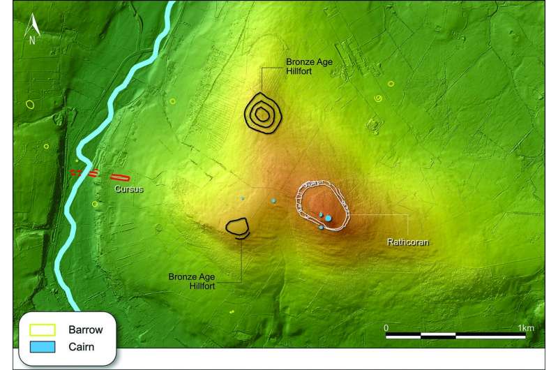
Perhaps most significant is the discovery of five cursus monuments. Cursus monuments are long, narrow earthwork enclosures and are well-known from the Middle Neolithic in Britain, but have not been well-studied in Ireland.
This discovery is one of the largest cursus clusters in both Britain and Ireland, and infers that Baltinglass continued to be intensively settled between the Early Neolithic and late Bronze Age.
"This latest LIDAR survey greatly enhances of understanding of the incredibly rich archaeological heritage of this part of west Wicklow; reinforcing the significance of the prehistoric landscape of the Baltinglass Hills area and shining new light on rare and poorly understood monuments like ceremonial cursus," states Deirdre Burns, Heritage Officer at Wicklow County Council.
Importantly, these cursus monuments are clearly aligned with burial monuments in the landscape, as well as the rising and setting sun during major solar events such as the solstice.
According to Dr. O'Driscoll, "This may have symbolized the ascent of the dead into the heavens and their perceived rebirth, with the cursus physically setting out the final route of the dead, where they left the land of the living and joined the ancestors beyond the visible horizon."
It also sheds light on what life was like in prehistoric Ireland and will help in the preservation of the monuments in the future.
"In ways, this finding brings us closer to the lives of the early farming communities in Baltinglass 6,000 years ago, by allowing us to better understand their religious and ceremonial practices and how the dead were revered and celebrated," says Dr. O'Driscoll.
"Such information will help us to better preserve and manage these monuments, and will inform future presentation and dissemination of this landscape to both academic and public audiences," concludes Burns.
More information: James O'Driscoll, Exploring the Baltinglass cursus complex: routes for the dead, Antiquity (2024). DOI: 10.15184/aqy.2024.39
Journal information: Antiquity
Provided by Antiquity


