June 13, 2023 report
This article has been reviewed according to Science X's editorial process and policies. Editors have highlighted the following attributes while ensuring the content's credibility:
fact-checked
peer-reviewed publication
trusted source
proofread
Using AI apps to find Nasca geoglyphs

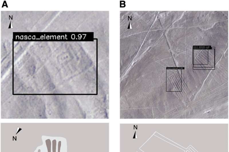
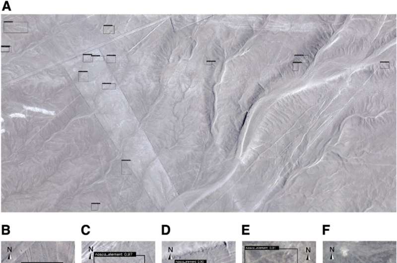
A team of archaeologists from Yamagata University, IBM Japan and Université Paris 1 Panthéon-Sorbonne used an artificial intelligence application to locate previously unknown Nasca geoglyphs. In their study, reported in Journal of Archaeological Science, the group used a variety of data sources to teach an AI app.
The Nasca geoglyphs are famous across the globe for their massive scale—the images were created by ancient people making depressions in the desert floor and are only fully appreciated from an aircraft. They were made in a high, arid plateau that stretches for approximately 80 km in one direction and 400 km in another.
Since their rediscovery by Spanish explorers, the geoglyphs have inspired many research efforts. Some have involved attempts to understand their meaning and why they were made, while others have simply tried to find all of them. It is not known how many were created, so archaeologists and historians continue to look for more. In this new effort, the research team used artificial intelligence to help with the search.

The team noted that a large amount of data has been collected regarding the region where the geoglyphs exist—among that collection are photographs taken from planes, drones and satellite, along with LiDAR. Most helpful were aerial photographs that map the entire region at a resolution of 0.1 meter per pixel.
The team trained an AI application on geoglyph data, and then set it to work searching for new geoglyphs in the detailed photographs. They found four new geoglyphs: one that looks like a human holding a club, a pair of legs, a bird and a fish. The human geoglyph was five meters in length. The fish was 19 meters, the bird 17 meters, and the pair of legs 78 meters.
The researchers suggest that their approach can be refined to aid in finding more geoglyphs in the region and modified for use in other archaeological image searching applications.
More information: Masato Sakai et al, Accelerating the discovery of new Nasca geoglyphs using deep learning, Journal of Archaeological Science (2023). DOI: 10.1016/j.jas.2023.105777
Journal information: Journal of Archaeological Science
© 2023 Science X Network


