Satellites' lasers reveal changes in Earth's water movement

Understanding climate change and its effects on humans, animals, and natural spaces requires studying Earth as a whole, interconnected system. Water movement on Earth, in particular, is a process that affects everything from global climate to the smallest habitats.
In 2018, NASA and the GFZ German Research Centre for Geosciences launched the Gravity Recovery and Climate Experiment Follow-On (GRACE-FO) satellites as a continuation of the GRACE mission to study the movement of Earth's water. The two satellites orbit Earth at a consistent distance from each other—in this case, about 200 kilometers (124 miles). The satellites constantly send each other signals via microwave and track the other's position within a micrometer's width. In areas of high mass, the slight change in gravitational pull changes the distance between the two satellites ever so slightly. With that change in distance, scientists can calculate the gravitational pull.
These areas of high mass are where excess water is, such as in the ocean, frozen in an ice cap, or buried deep underground. The standard GRACE-FO data averaged each month tell scientists about the movement of that water. However, water movement doesn't always happen month to month. The location of water masses can change day to day or, in some cases, minute by minute.
Ghobadi-Far et al. set out to test a new instrument on the GRACE-FO satellites that would allow researchers to attain more highly resolved water movement data. The technology, called a laser ranging interferometer (LRI), uses a laser beam rather than microwaves to detect the distance between the two satellites. This technique allows the satellites to track each other's position within a nanometer, which is 1,000 times more accurate than using microwaves.
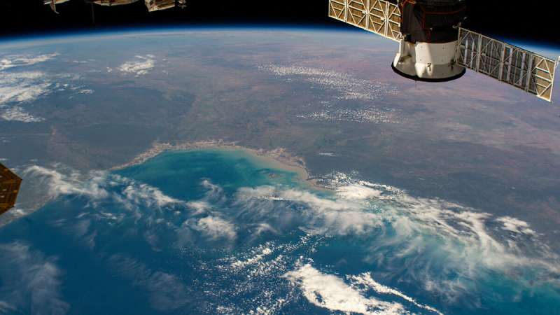
The researchers analyzed LRI data gathered when GRACE-FO satellites were flying over different, rapidly changing water masses around the globe, including the deep and highly variable Argentine Basin, the Gulf of Carpentaria, and the floodplains and river channels of the Amazon River basin. In all three cases, the researchers demonstrated that LRI data clearly detected the high-frequency ocean variability and rapid water mass variations.
This new method allows for observing high-frequency mass changes in the Earth system that cannot be adequately studied using the standard GRACE-FO monthly data, and thus, it "broadens the scope of geophysical applications that can be addressed by GRACE-FO satellites data," according to the authors.
More information: Khosro Ghobadi‐Far et al, Along‐Orbit Analysis of GRACE Follow‐On Inter‐Satellite Laser Ranging Measurements for Sub‐Monthly Surface Mass Variations, Journal of Geophysical Research: Solid Earth (2022). DOI: 10.1029/2021JB022983
Journal information: Journal of Geophysical Research: Solid Earth
Provided by American Geophysical Union
This story is republished courtesy of Eos, hosted by the American Geophysical Union. Read the original storyhere.


