Kitesurfing the white wilderness for polar science

In an astonishing feat of endurance, explorers Justin Packshaw and Jamie Facer Childs are a quarter of the way through a 3600-km kitesurf trek that takes them across the desolate heart of Antarctica. They are not pushing their physical and mental limits to the brink, facing howling gales and temperatures of –55°C just for the sake of adventure. They are gathering information to help scientists better understand how the body responds to extremes and taking unique measurements of their ice environment that will help complement ESA's CryoSat mission to better understand how this giant ice sheet is evolving in response to climate change.
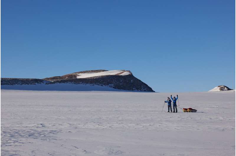
Each hauling a 200-kg sledge and traveling on foot or on skis pulled by kites, Justin and Jamie set out a month ago from the Novolazarevskaya research station on their 80-day "Chasing the Light' expedition to cross Antarctica from coast to coast.
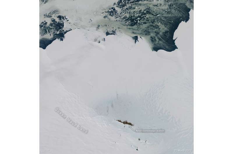
The station can be seen in the image below, which was captured from space by the Copernicus Sentinel-2 mission.
On the way, they are collecting data that will give scientists new insight into environmental conditions in the middle of Antarctica. As well as the temperature and wind readings, the team will supply measurements of the snow that covers the ice sheet.
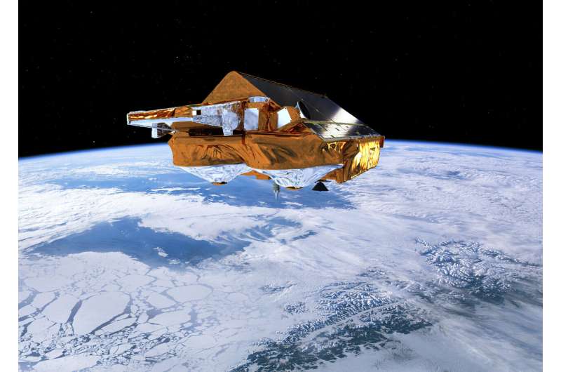
Environmental satellites in space, such as ESA's CryoSat provide a synoptic view of how climate change is affecting the world's ice. CryoSat transmits radar pulses from 720 km above Earth's surface and uses the return pulses from the surface to measure changes in the height of the ice. The differences in the height and coverage of the ice over time, reveals how much ice is being lost.
Since it was launched in 2010, CryoSat has been returning precision data across the whole planet to within two degrees of the South Pole. Justin and Jamie's measurements, however, can be thought of as pinpricks of environmental information spread along the expedition route So how does Justin's expedition fit in and help ESA?

Malcolm Davidson, Head of ESA's Earth Observation Campaigns Section, explained, "To generate the best possible maps of the Antarctic ice sheet and to understand how it is responding to climate change, scientists need additional information to that being provided by CryoSat.
"Information about snow and ice conditions at the surface are needed to correctly interpret the radar echoes the satellite receives from the ice surface and transform them into measures of ice height.
"While ESA goes to great lengths to validate CryoSat's data, the measurements of snow and ice conditions that Justin is taking along his expedition route are unique. We simply don't have such measurements for much of his route—so, in short, they will be very helpful in improving the reliability and accuracy of the trends measured by our CryoSat mission."
The team is also working with NASA and Stanford University to use the expedition for human and biological research. This involves taking measurements of their own bodies to study, for example, isolation, microbiology and immunology—ultimately contributing studies into future human space exploration.

So far, the team has been subjected to 150 km/hr winds, –55°C temperatures and whiteouts hindering progress a little so that they have lost a few days having to hold up in their tents and also rethink their route slightly.
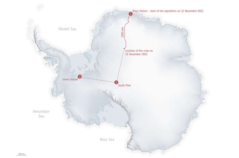
The map above, which is a digital elevation map of Antarctica based on data from CryoSat, has been overlaid with the GPS track of the expedition. It shows the team's position on 15 December 2021 having traveled 1,083 km since they set off on 12 November from the Novolazarevskaya research station.
Justin says, "One learns to roll with the punches down here so, we used these days to mend some kit and ourselves. In total, we have not been able to travel for nine days, but obviously still needed to eat. If we kept heading to the Pole of Inaccessibility, which is a considerable dogleg in our planned route, we would not have enough food.
"We decided that it is prudent and safer to head directly to the Geographic South Pole and if we are careful with our food and fuel, this is achievable."

Speaking on 14 December, Justin added, "The wind has been between 40 and 50 km per hour and we have been flying our 9 m kites, which pulled us along with gusto. Boy, the power these puppies can produce is incredible.
"The terrain was erratic, super icy and difficult and yet they just pulled us straight through without a care! We on the other hand were rattled senseless! All that aside, we're in good form and will just keep playing the cards we're dealt. A Royal Flush would be nice."
Provided by European Space Agency


