Better hurricane forecasts from use of infrared satellite measurements of cloudy skies

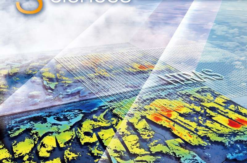
Weather forecast models have long struggled to integrate satellite observations of infrared radiation in cloudy regions of the sky. But in recent years, some satellite data providers have developed new techniques to integrate such data. A group of researchers from China, Japan, the U.S. and the U.K. have performed a survey of best practices for the observation and use of this data, demonstrating significant improvement in the forecasting of high-impact weather events such as hurricanes and typhoons.
The survey was published in the journal Advances in Atmospheric Sciences.
The review concluded that a method using what are called cloud cleared radiances has proved to be the effective and efficient method for use of infrared data assimilation in partially cloudy skies. This involves essentially cutting out the cloud effect in infrared 'sounder' measurements to obtain a clear-sky infrared radiation equivalent. Sounder instruments aboard satellites 'sound the depths' of the atmosphere to take measurements that represent a 3D structure of atmospheric moisture and temperature (as opposed to satellite 'imager' instruments that produce 2D images or maps, often of the temperature of the sea, or land surface, or a thick layer of atmosphere).
Over the last decade or so, some satellite users have begun to perform data assimilation from both clear and cloudy skies, so-called all-sky assessments. But even here, this has depended mainly on the measurement of microwave but not infrared radiation. Infrared radiation measurements for weather forecasting are mostly limited to clear skies and to above-cloud situations.
This is because atop the existing problems with cloudy regions, satellite measurements of infrared radiation are strongly affected by the very layout of clouds. Complex multi-layer and overlapping clouds are difficult to assess.
Nevertheless, progress in use of the infrared in cloudy skies is critical to better represent thermodynamic and cloud microphysical information from satellites in order to improve weather forecasts.
"Thankfully, in recent years, a great deal of experimentation on all-sky infrared data assimilation has taken place," said Wei Han, of the National Meteorological Center of the China Meteorological Administration and one of the researchers involved with the survey, "and we wanted to assess what the best practice is."
So the researchers reviewed development of satellite infrared data assimilation by various practitioners and the solutions they have deployed to better use such data in forecasts.
They found that use of these cloud-cleared radiances in data assimilation improves the forecasting of high-impact weather events such as tropical cyclones (known as hurricanes or typhoons, depending on the region of the world), and is now being applied in numerical models to improve daily forecasts.
The study also found in terms of technique that placing a high-spatial-resolution imager and a hyperspectral infrared sounder on the same platform was crucial for enhancing the effectiveness of infrared data assimilation under cloudy skies.
More information: Jun Li et al, Satellite All-sky Infrared Radiance Assimilation: Recent Progress and Future Perspectives, Advances in Atmospheric Sciences (2021). DOI: 10.1007/s00376-021-1088-9
Journal information: Advances in Atmospheric Sciences
Provided by Chinese Academy of Sciences


