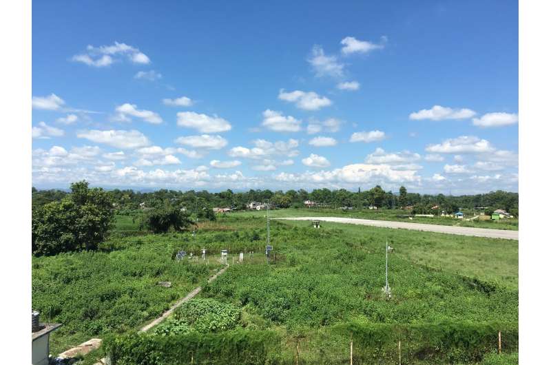
Scientists apply the METRIC model to estimate land surface evapotranspiration in Nepal

Evapotranspiration (ET), the phenomenon of the loss of water into the atmosphere from the land surface through evaporation and transpiration, is an important part of water and energy cycles. ET is a key variable used in applications such as drought monitoring, climate prediction, water resources management, and agricultural planning. The importance of a high-resolution ET estimation has also been well identified for agricultural applications where site-specific monitoring is needed, which is highly relevant for a country like Nepal that relies on agriculture for the majority share of its GDP and employment workforces.
Due to its importance, Prof. Weiqiang Ma from the Institute of Tibetan Plateau Research, Chinese Academy of Sciences, and his group, used the METRIC model to simulate and evaluate the surface evapotranspiration in Nepal. The results have been recently published in Atmospheric and Oceanic Science Letters.
According to the study by Prof. Ma and colleagues, the evapotranspiration simulated by the METRIC model has a smaller error than the actual observation under the complex underlying surface in Nepal, which illustrates good applicability of this model.
"Meanwhile, we have increased the resolution of the simulation from 5 km to 30 m without affecting accuracy. High-resolution ET estimation can be used for agricultural planning and monitoring in Nepal," states Prof. Ma.
Besides, the remote sensing-based METRIC model has been implemented for the estimation of land surface ET in a topographically diverse region, i.e., Nepal. The obtained evapotranspiration results from the model were found to be close to the field measurement data. Therefore, the model is applicable in Nepal, where the landscape within a small region varies from flat plains to high land. Furthermore, Prof. Ma and his team also studied the elevation-wise variation from 57 m to 7782 m above mean sea level. The pattern analysis of estimation of ET revealed its inverse relation to elevation in general over the study area.
"Compared to previous work using the resolution of 5 km, our study is the first in Nepal that has utilized such fine spatial resolution data, i.e., 30 m, afforded by Landsat 8 without compromising the accuracy," adds Prof. Ma. "ET profiling, such as across elevations in a mountainous region such as Nepal helps in irrigation management and large-scale soil moisture assessment for agriculture, which is important because many people in Nepal still rely on agriculture for their daily livelihoods," concludes Prof. Ma.
More information: Shailaja WASTI et al, Estimation of land surface evapotranspiration using the METRIC model in Nepal, Atmospheric and Oceanic Science Letters (2020). DOI: 10.1080/16742834.2020.1824984
Provided by Chinese Academy of Sciences


