Earthquake presents new opportunities for research, Idaho geological survey director says
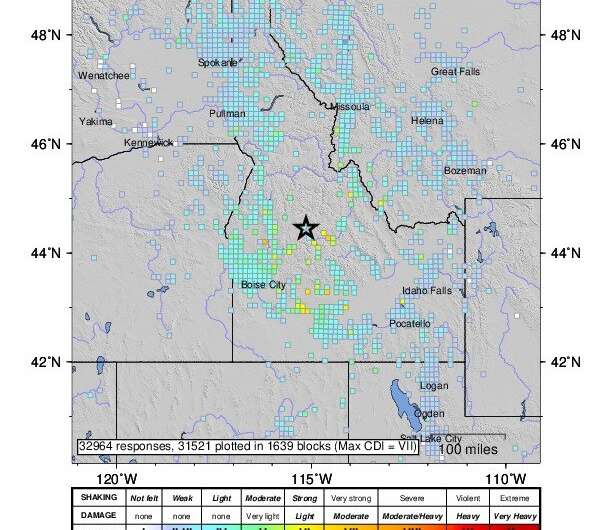
The 6.5-magnitude earthquake on March 31 near Stanley in south-central Idaho sent a ripple-effect of situations for researchers to explore.
The benefit for Idahoans is that every new event improves our understanding of earthquakes and allows us to plan better for future rumblings.
While there is excitement on the scientific side of earthquakes, there are impacts on the applied side as well. The applied side is what makes people and infrastructure safer and more resilient.
The Idaho Geological Survey, a state agency hosted by the University of Idaho as a special program under the university's Office of Research and Economic Development, continues to monitor and research the March 31 event as there have been more than 1,000 aftershocks. These rumblings are expected to continue for several months and possibly years.
The largest aftershock in the USGS catalog following the event has been a magnitude 4.8. There have been 10 registering over 4.0, the most recent of which took place on June 9. Nearly 200 have been recorded registering between 3.0 and 4.0.
This number and frequency of aftershocks is to be expected for an original quake of this size.
Scientifically, this was an interesting event and will provide data critical in advancing our understanding of the seismic and tectonic evolution in Idaho.
The rare phenomena of the slide of the Stanley Lake delta and beach, which resulted from the event, could be used as a case study to help develop safety protocols, including in the areas of engineering and building codes.
As a consequence of the strong ground motion during the earthquake—or possibly one of the larger aftershocks—the ground and sediment that comprised the delta liquified. This means that it lost coherence and behaved like a fluid for a short time.
The delta itself also collapsed and slid into the deeper part of the lake. We still don't know how far it went, nor if this is a phenomenon that has occurred in the past. We are planning further investigation.
Despite the lake's popularity, it is located in a remote area and didn't cause fatalities. If the collapse would have happened during a summer day, the outcome could have been different.
In response to the Stanley Lake delta collapse, the Idaho Geological Survey is developing an online interactive map that will present the location of the fractures and liquefaction features overlaid to a composite aerial image, captured with the use of a drone.
The map will provide field data to the scientific community as a documentation of the event and a way to preserve features that are short-lived in the landscape.
Working in collaboration with partners such as Boise State University, we maintain a portable seismometer network to document the location of aftershocks, frequency and intensity.
The earthquake was a stark reminder that Idaho is seismically active and that urban areas, including this one in the Boise region, are not immune to such large events. Earthquakes are a hazard in Idaho that need to be better understood. The Idaho Geological Survey, University of Idaho and its partners are proud be involved in this research process.
More information: Stanley Lake earthquake information at the Idaho Geological Survey: www.idahogeology.org/stanley-earthquake
Provided by University of Idaho


