Preserving the past in 3-D

It isn't often that you get a sunny, 70-degree day in the beginning of February, especially less than a week after a record-setting cold snap plunged most of Illinois into subzero temperatures. We certainly aren't about to waste the fine weather, even if it means a day lugging heavy equipment up a steep ravine in the bluffs overlooking the Mississippi River.
A local landowner leads our team of archaeologists past a small waterfall up to the top of the bluff, where two rock shelters contain a number of ancient petroglyphs. These designs were pecked and ground into limestone boulders sometime between A.D. 1050-1400, during what archaeologists call the Mississippian Period. This era saw the founding of the American Indian city of Cahokia, some 30 miles north of here.
Luckily, our guide has tied a series of ropes between trees to help us haul our gear, and ourselves, up the steep, slick slope.
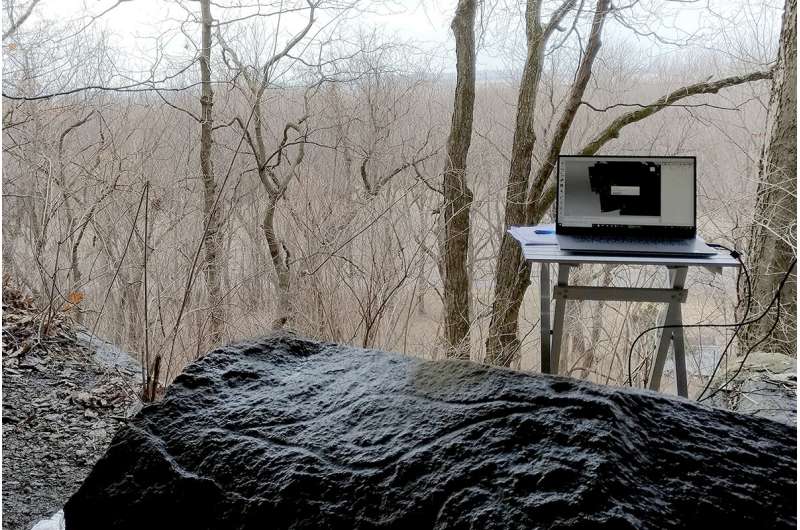
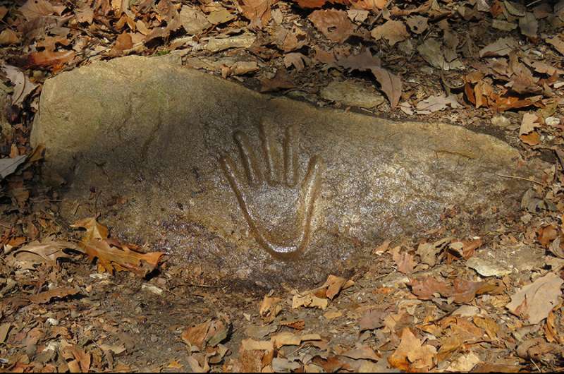
When we reach our destination, we take a moment to catch our breath. It's easy to appreciate why past people chose this spot for their petroglyphs: It has a commanding view of the great Mississippi River floodplain below. A limestone outcrop in one shelter is emblazoned with the imprint of a hand – a tangible, human link to the people who created these icons nearly a millennium ago. A limestone boulder in a nearby rock shelter bears glyphs of a superhuman eye, concentric circles and other, more enigmatic motifs.

This site and others like it are at risk from erosion, urban development, and damage by looters. That's why we're here armed with a new tool: a portable, structured-light 3-D scanner.
With the scanner, we can capture extremely detailed geometric data and photography to create 3-D models of the site's dozen individual Mississippian Period petroglyphs. These will serve as a digital record of the site and make it more accessible both to scientists and to the public. We take some notes and measurements, hook the scanner up to a laptop computer and battery pack, and get to work.
This may be the only day this winter that is warm enough to operate the 3-D scanner outdoors, and it's a golden opportunity to thoroughly document the petroglyphs should this irreplaceable resource be lost forever.
Provided by University of Illinois at Urbana-Champaign


